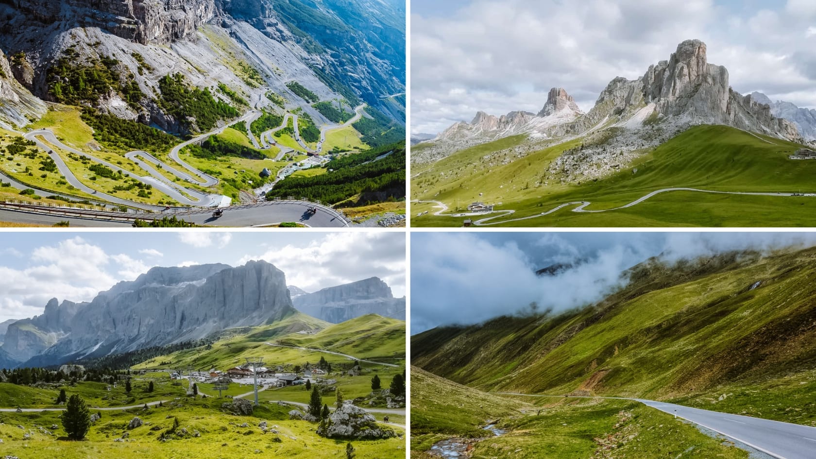
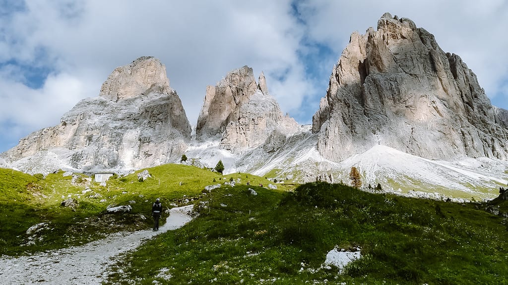
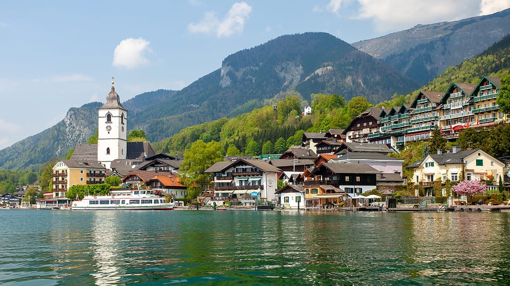
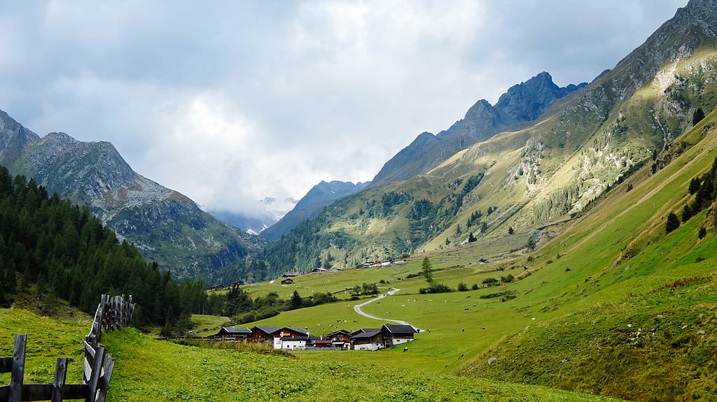
Panoramic alpine roads are one of the biggest attractions in Austria and Italy. In this article, we look at specific tips for the most beautiful alpine roads in Austria and Italy, including practical information and a map to help you plan your itinerary.
What you can read in the article:
- What are the most beautiful alpine roads in Austria + things to do and hikes in the area
- What are the most beautiful mountain roads in Italy + things to do and hikes in the area
- Downloadable map
The most beautiful alpine roads in Austria
The high mountain roads in Austria have one disadvantage compared to those in Italy – they are toll roads. On the other hand, they are close and well maintained.
Here are the most beautiful mountain roads in Austria that you should not miss:
1. The Grossglockner Alpine Road
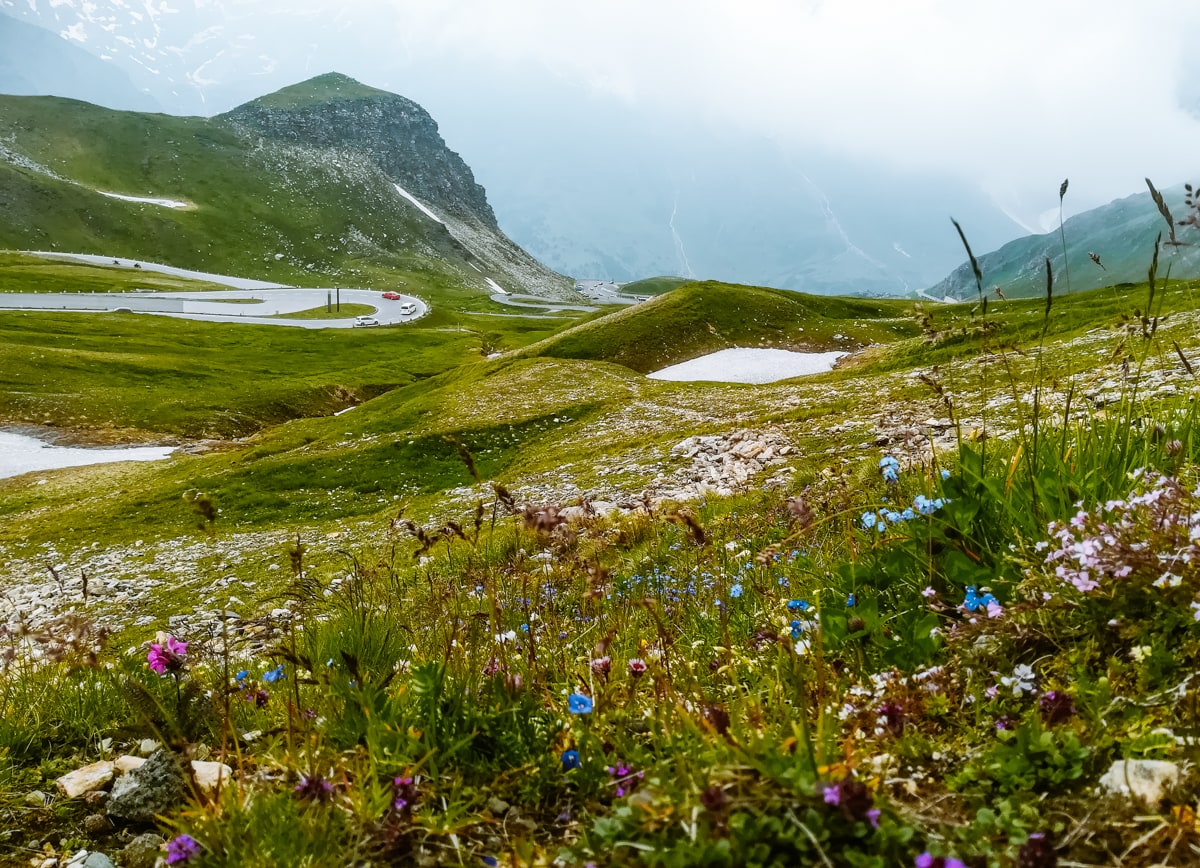
Enjoy a drive along the Grossglockner Alpine Road, where you will experience the beautiful scenery of the High Tauern National Park. This is an area where wild waterfalls tumble into deep valleys and turquoise lakes shimmer beneath majestic peaks, including the highest of the Austrian Alps, the Grossglockner.
The marmots will run around you and you will enjoy the view of the highest peaks of the Austrian Alps. Here you have a unique chance to visit places that are normally inaccessible.
Useful information about Grossglockner Hochalpenstrasse
Location: the road is 48 km long and takes you through the national park area between Fusch an der Grossglocknerstrasse in the north and Heiligenblut in the south.
On the way you will count 36 turns and overcome an altitude of 1,748 metres. The usual gradient is 12%.
What is the price for the Grossglockner High Alpine Road:
- Cars 43 €, after 18:00 33 €
- Motorcycles 33 €, after 18:00 28 €
Opening hours: the Grossglockner Alpine Road is open from May to early November, depending on the current weather conditions.
- until 31th May 6:00-8:00pm
- from 1st June to 31th August 5:30-21:00
- from 1st September to early November 6:00-19:30
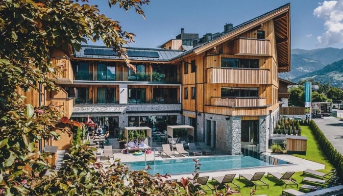
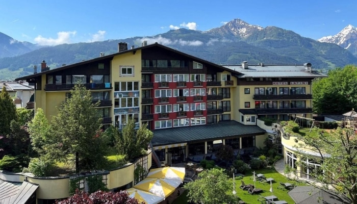
Accommodation High Tauren 😴
These accommodations include the SommerCard, which gives you free access to cable cars, public transport and attractions in the Zell am See-Kaprun area. The card is valid from 15th May to 31th October.
Things to do on the Grossglockner Hochalpenstrasse
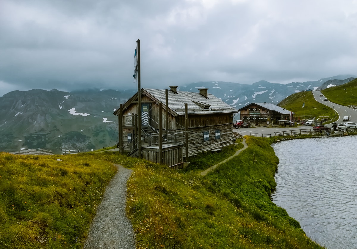
Just before the south hill, there is a right turn to reach the Kaiser-Franz-Josefs-Höche lookout. Here you will find clear blue lakes, the Pasterze glacier, waterfalls and a divine view of the Grossglockner.
Parking at the viewpoint is completely free, with plenty of benches, refreshments and beautiful views.
See the latest information here.
2. Schlegeis Alpenstrasse
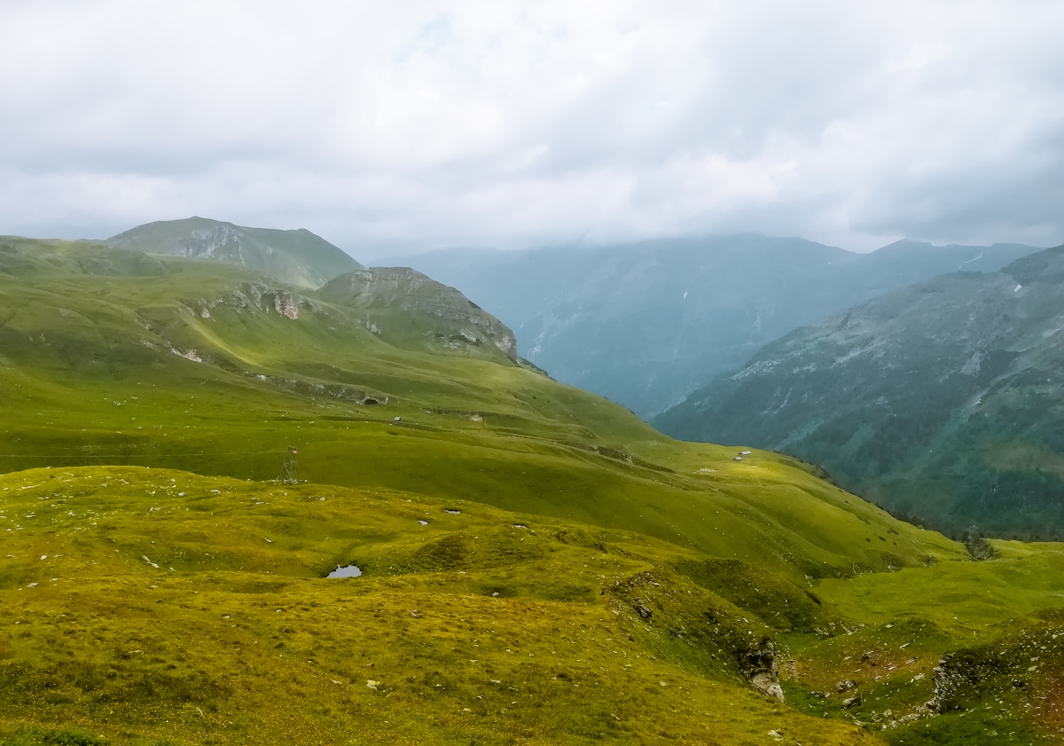
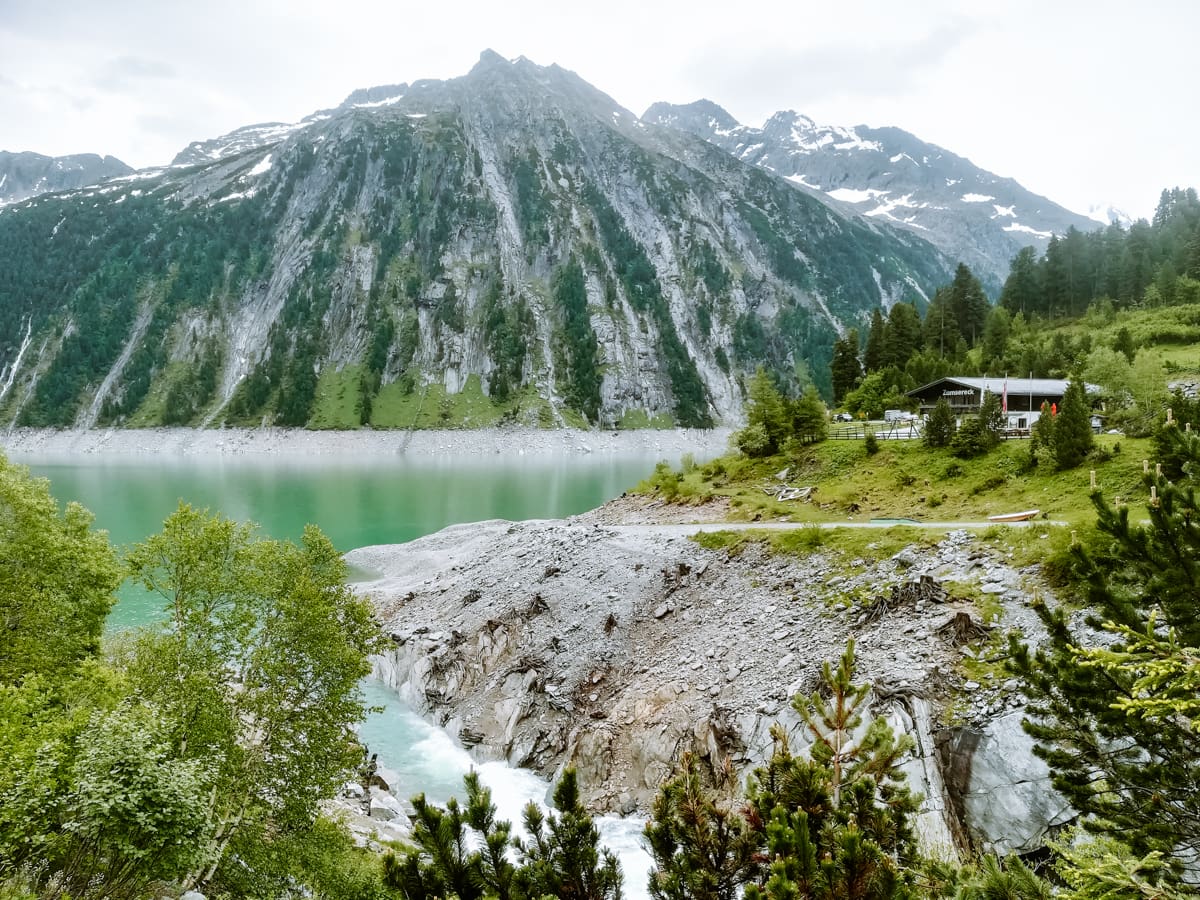
The Schlegeis Alpenstrasse is not in itself the most beautiful mountain road in Austria. Nevertheless, it has its place of honour here because it leads to one of the most beautiful alpine reservoirs, the Schlegeisspeicher. The protected area of the Zillertal Alps begins here.
The road is 13 km long and will help you bridge 800 vertical metres to an altitude of 1,780 metres. The Schlegeis Stausee may not offer the same views as the Grossglockner road, but it makes up for it at the finish with the Schlegeis Dam with its clear water surrounded by Alpine peaks.
☞ Read more about the most beautiful places in Tyrol.
Useful information about Schlegeis Alpenstrasse
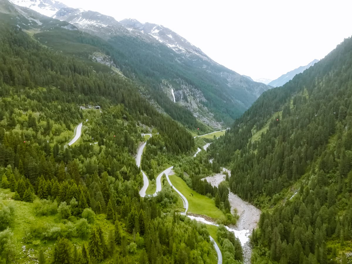
Location: the road is 13.3 km long and connects Mayrhofen to the Schlegeis Dam. It will help you bridge 800 vertical metres to an altitude of 1,780 metres.
What is the price for the Schlegeis Alpenstrasse:
- Cars 17 €
- Motorcycles 13 €
Opening hours: the Schlegeis Alpenstrasse is open from 17th May to 27th October.
- May to June 7:00-18:00
- July to August 6:00-18:00
- September to October 7:00-18:00
Things to do on the Schlegeis Alpenstrasse
Head to Olperer’s cottage, located right above the dam. From here you can enjoy the view of the whole area and take a photo on the small suspension bridge. Count on a time output of 2 hours.
If you are looking for a less demanding route through the Alpine valley, head towards the Pfitscher Hut. Most of the time you walk along the valley around the mountain stream with a view of beautiful waterfalls and only towards the end you will climb up to the Pfitscherjoch saddle. From here, you are just a short walk from the hut, which is located right by the Jochsee lake. The path is easy and part of a cycle path. It takes about 2-2.5 hours to reach the hut by normal walking.
Check out the latest information on the Schlegeis Alpenstrasse here.
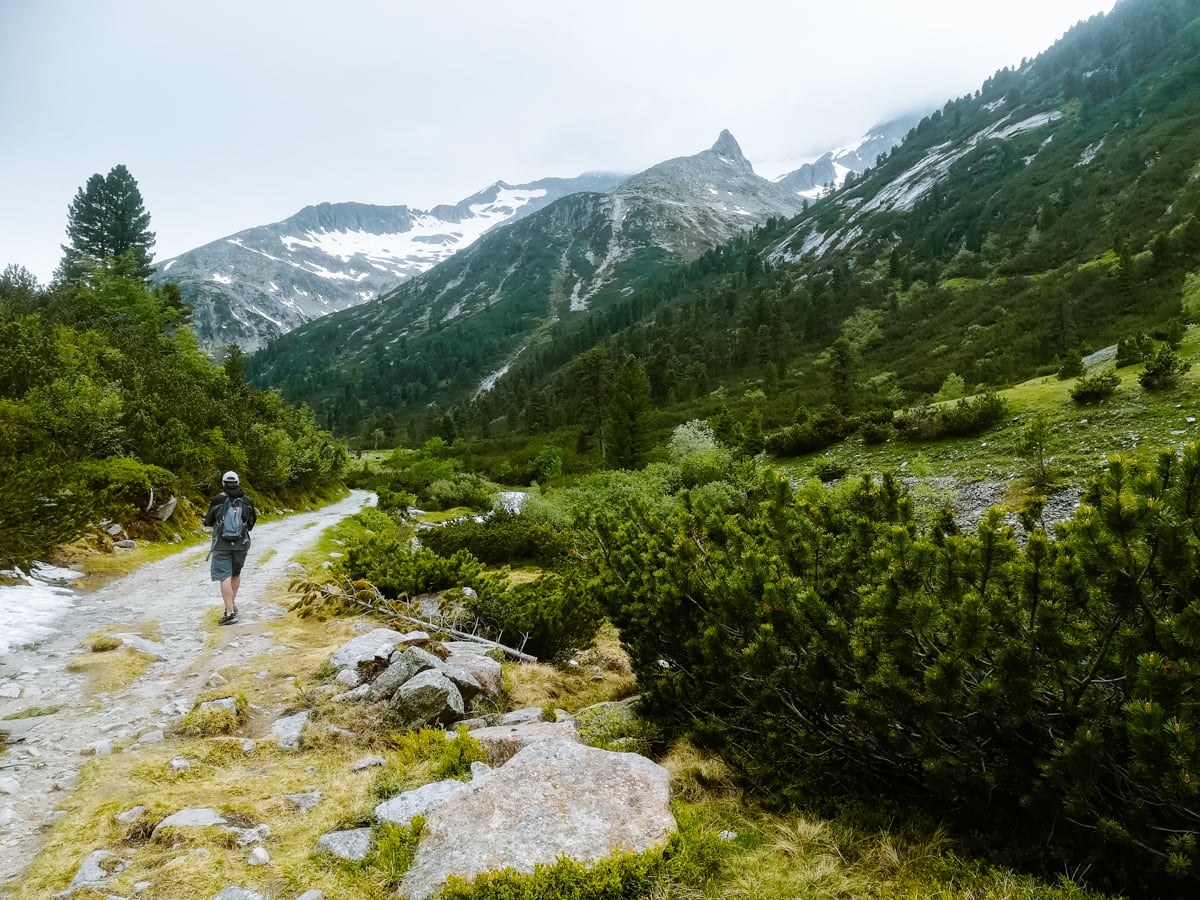
3. Timmelsjoch Hochalpenstrasse
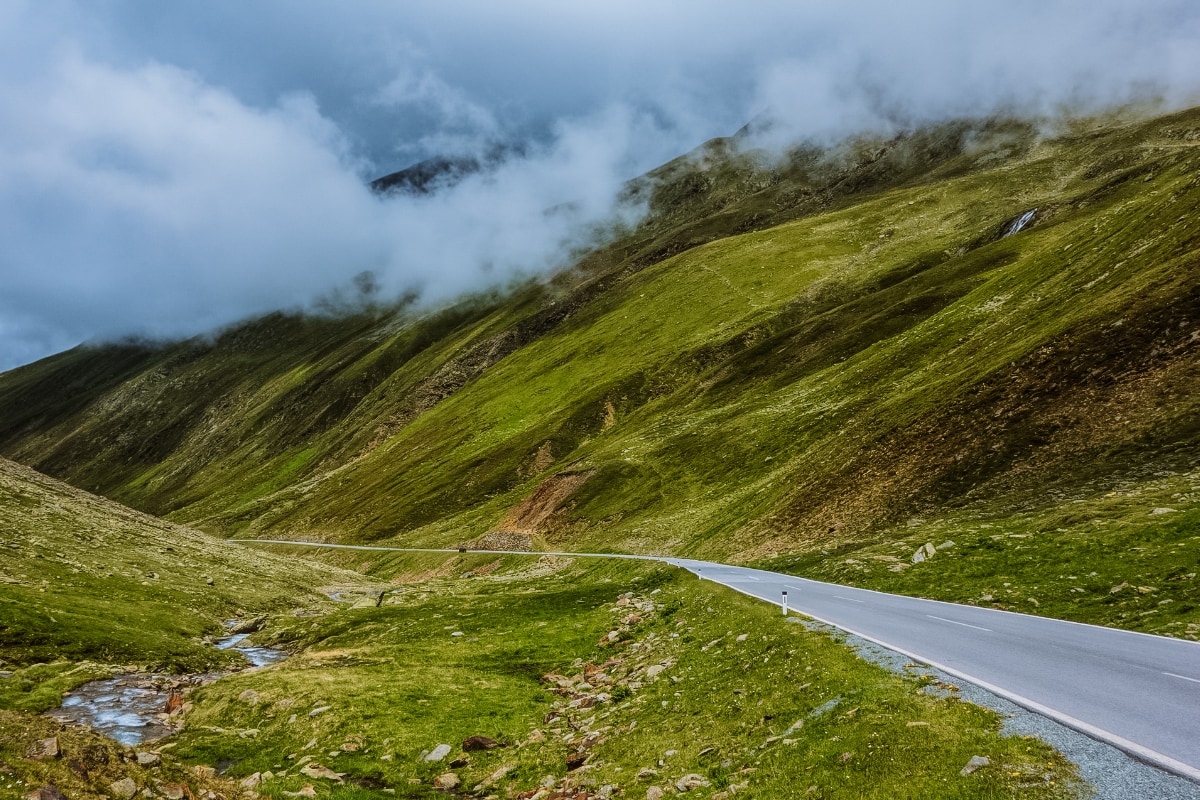
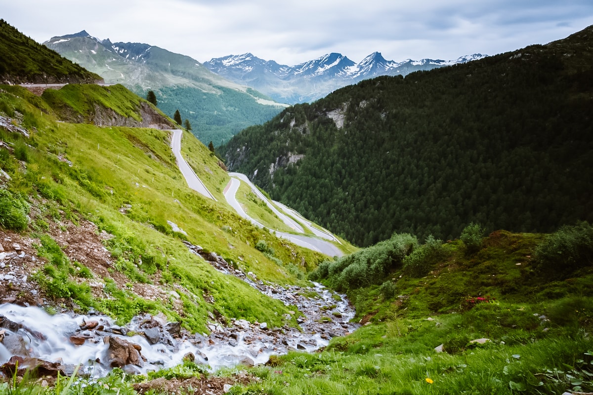
Timmelsjoch Hochalpenstrasse, also known as Passo del Rombo in Italian, is a high mountain pass that connects Tyrol in Austria with South Tyrol in Italy. This alpine route is popular with motorists and cyclists for its steep climbs, sharp turns and breathtaking scenery.
Timmelsjoch is located at 2,474 metres above sea level and has been accessible since the 1950s, since when it has served as an important link between the two countries.
Useful information about Timmelsjoch Hochalpenstrasse
Location: The Timmelsjoch mountain road is 30.4 km long and connects the towns of Moos in Italy and Hochgurgl in Austria.
What is the price for the Timmelsjoch Hochalpenstrasse:
- Passenger cars 19 €, round trip 26 €
- Motorcycles 13 €, round trip 23 €
- You can use the return ticket at any time during the season.
What are the opening hours: the Timmelsjoch Hochalpenstrasse is open from mid-May/early June from 7:00-20:00 – check the latest information here.
Things to do on the Timmelsjoch Hochalpenstrasse
Right in the Timmelsjoch saddle they have built a museum that is worth seeing in its own right thanks to its futuristic architecture. This is one of the 5 Timmelsjoch Experience sites, designed to introduce visitors to the history, nature and culture of the region.
An interesting place near the saddle are two chairs, one symbolizing the Austrian side and the other the Italian side. Directly between them lies a boundary marker.
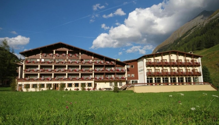
Accommodation Tyrol 😴
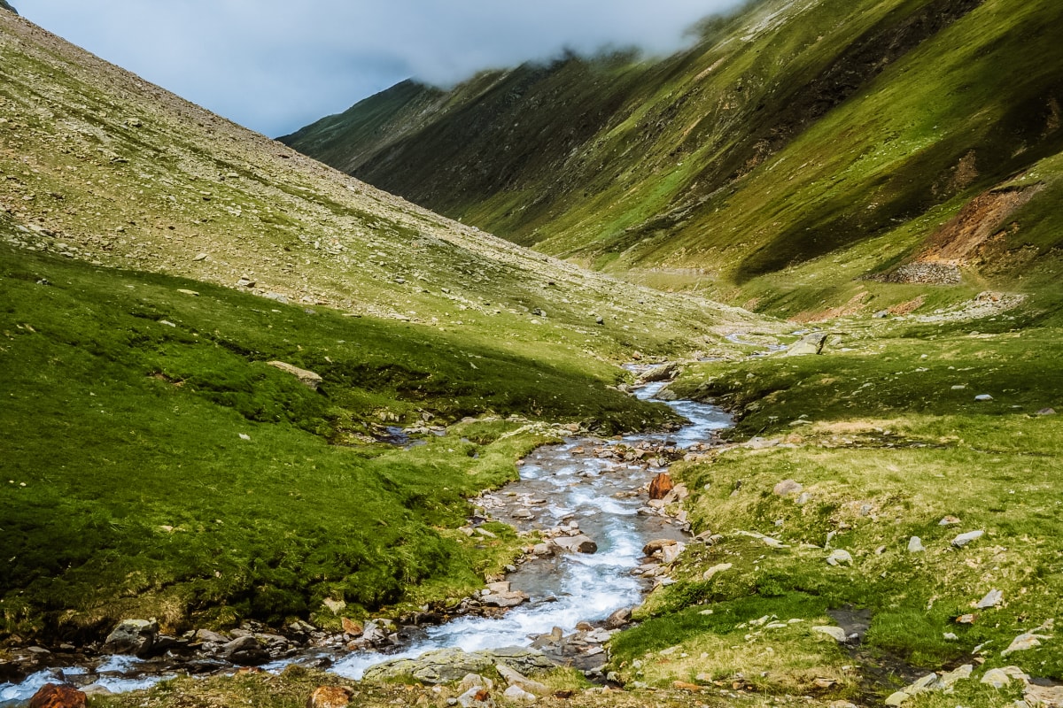
4. Silvretta Hochalpenstrasse
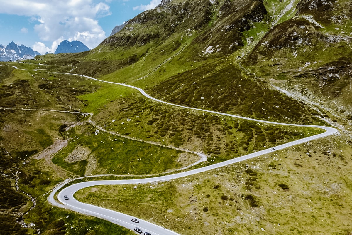
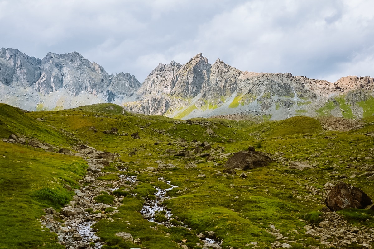
We move to the west of Austria, where one of the most beautiful areas of the Austrian Alps is located – the Silvretta Mountains. It is dominated by crystal clear lakes, green valleys and alpine peaks over 3,000 metres. And you can drive through this splendour on the Silvretta high mountain road.
Useful information about Silvretta Hochalpenstrasse
Location: the Silvretta mountain road is 22.3 km long and runs from Partenen in Montafon to Galtür. It thus extends over the territory of two Austrian Länder – Tyrol and Voralberg.
What is the price for the Silvretta Hochalpenstrasse:
- Cars for up to 9 people 19,50 €
- Motorcycles 16 €
Opening hours: the Silvretta Hochalpenstrasse is open from the end of May/beginning of June until the end of October – check the latest information here.
Things to do on the Silvretta Hochalpenstrasse
One of the attractions of the Silvretta Hochalpenstrasse are the lakes. At the Bielerhöhe Pass you will pass Silvretta Stausee and then Vermunt Stausee towards Partenen.
On the other side lies the popular Kops Stausee lake. However, unlike the previous two lakes, it is not so easily accessible – expect a journey time of around 2 hours.
☞ More tips for mountain roads can be found in Carinthia in Austria.
The most beautiful mountain passes in Italy
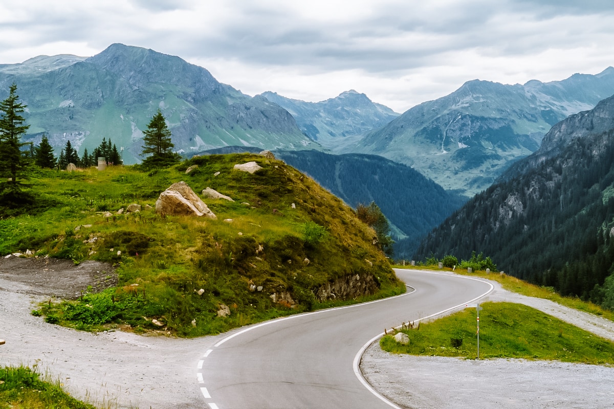
Mountain passes in Italy are free to access. It’s free of charge and you’ll be high up in the mountains, surrounded by alpine meadows and majestic peaks in no time.
Here are the most beautiful mountain roads in Italy:
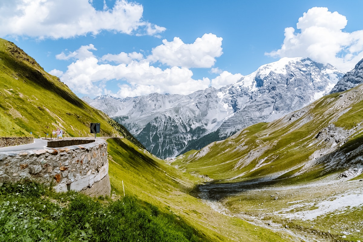
5. Passo dello Stelvio
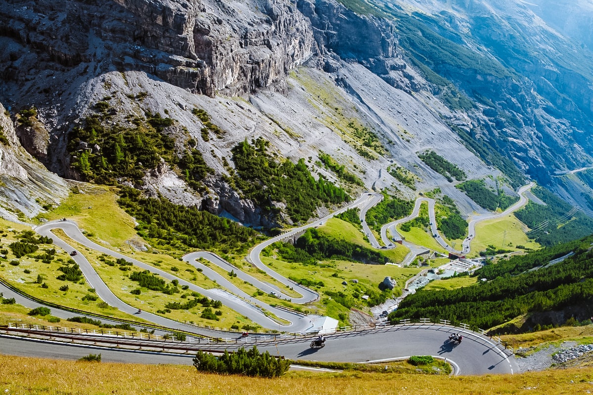
With an altitude of 2,758 metres, Passo Stelvio (Stilfserjoch) is the second highest mountain pass in the Alps and the highest pass in Italy and the Eastern Alps.
The pass was built in the mid-19th century. The aim was to create a strategic road linking the province of Lombardy, then part of the Austrian Empire, with the rest of Austria. The completion of the road in 1825 allowed for better military and trade links between the two regions.
Useful information about Passo Stelvio
Location: the Passo Stelvio mountain pass is located near Switzerland in western Italy between the towns of Bormio (province of Sondrio) and Pratto allo Stelvio (province of Bolzano). It is 47.5 km long.
What is the price for the Passo Stelvio: free
Opening hours: usually from the end of May to the end of October, but opening hours depend on current weather and snow conditions – check here for updates.
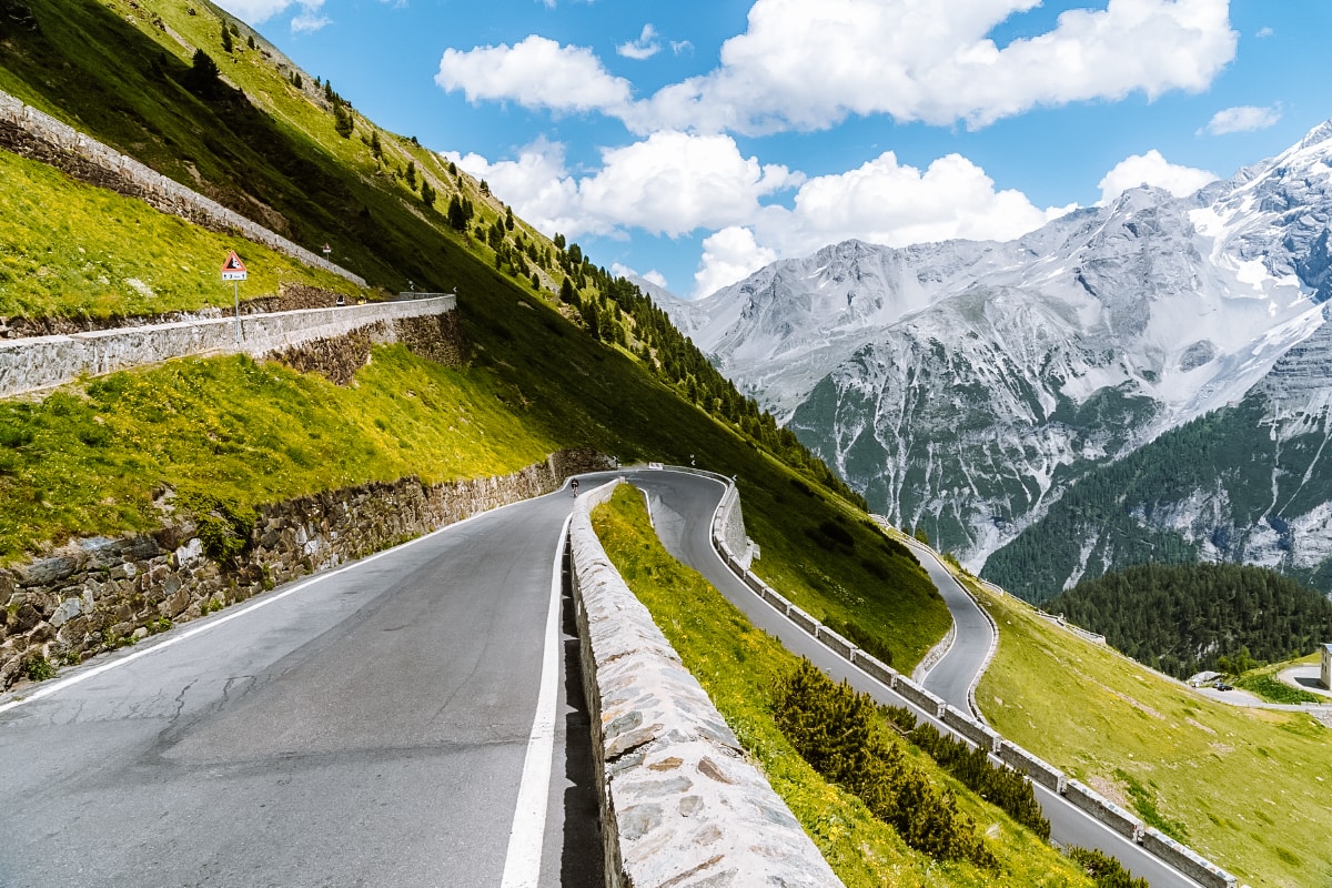
Things to do on the Passo Stelvio
For the best views of the pass, head to the Rifugio Alpino Tibet Hütte. It can be reached in a few minutes from the large free car park.
Or head the other way from the car park to Rifugio Garibaldi. Again, this is a short climb with a fantastic view of the pass. The chalet is located on the summit of Cima Garibaldi, which is on the border of Switzerland, Lombardy and the province of Bolzano.
The area around the pass is a national park that is crisscrossed with hiking trails, from easy to day hikes.
6. Passo di Giau
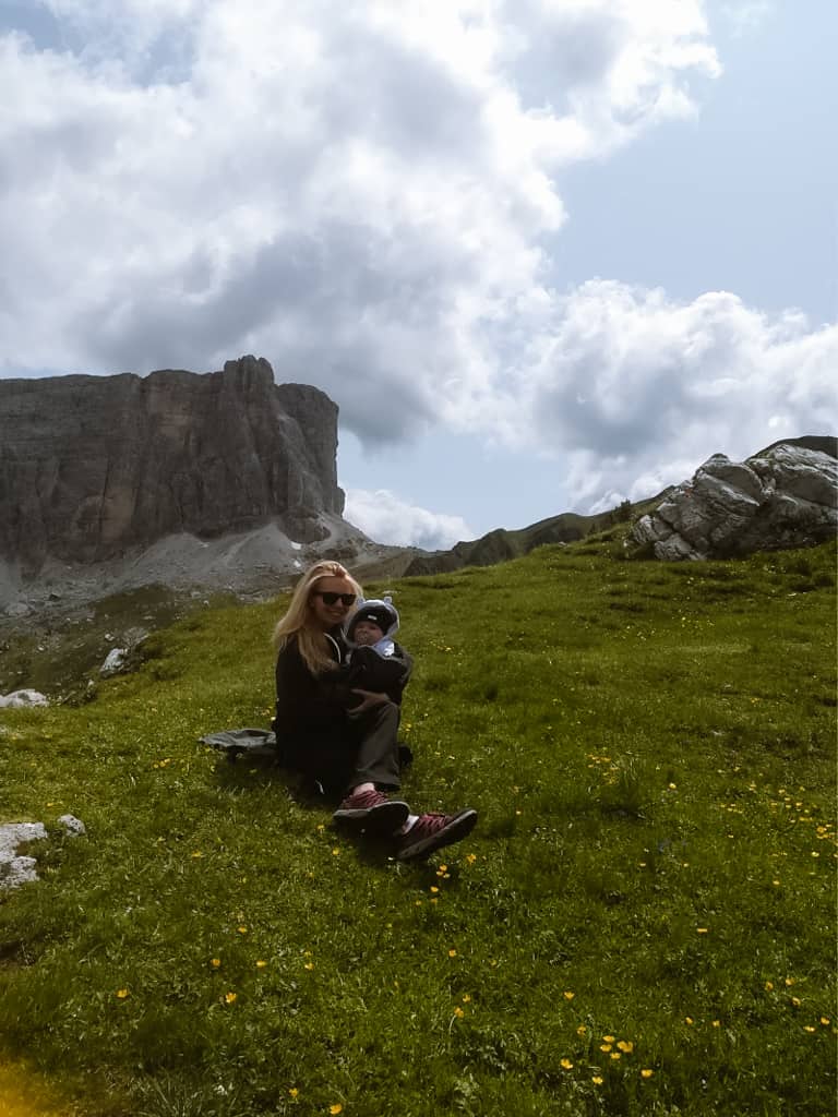
Passo di Giau is a high mountain pass in the Dolomites in northeastern Italy. The pass is located at an altitude of 2,236 metres in UNESCO area no. 1 PELMO CRODA DA LAGO in the province of Belluno and connects the towns of Cortina d’Ampezzo and Selva di Cadore.
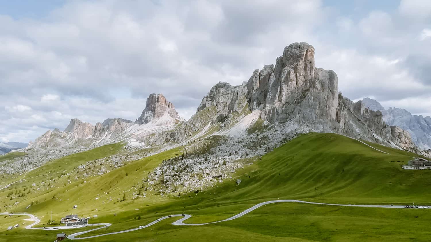
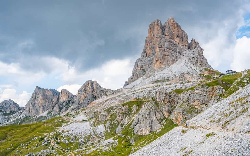
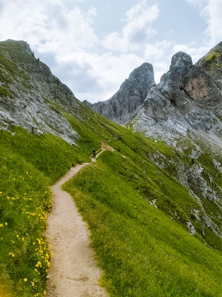
Passo Giau is famous for its breathtaking scenery with dramatic rock formations, green meadows and wild flowers. From the pass and surrounding trails, you can enjoy views of some of the Dolomites’ most famous peaks, including Nuvolau, Monte Averau and the Tofane group.
In our opinion, Passo Giau is one of the most beautiful places in the Dolomites and one of the top 10 places to visit in the Dolomites.
Useful information about Passo Giau
Location: the 20 km long Passo Giau connects the towns of Selva di Cadore and Cortina d’Ampezzo.
What is the price for the Passo Giau: free
What are the opening hours: the pass is open in good weather conditions all year round, including winter.
Things to do on the Passo di Giau
From Passo Giau you can see the Agordin Dolomites including the highest peak of Marmolada, Monte Civetta, Torri del Sella, the Cadore and Ampezzo Dolomites, the peaks of Tofana, Antelao, Cristallo and Sorapis.
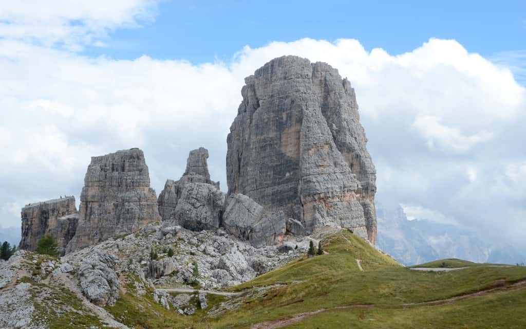
From here, you can go to many interesting places such as the Cinque Torri, the peaks of Averau or Nuvolau or the Mondeval plateau, where the skeleton of Mondeval Man was discovered. You can choose from easy trails (suitable for children) or more demanding day hikes.
☞ We have written a separate guide on what to do around Passo Giau.
Accommodation in the Dolomites 😴
7. Passo di Falzarego
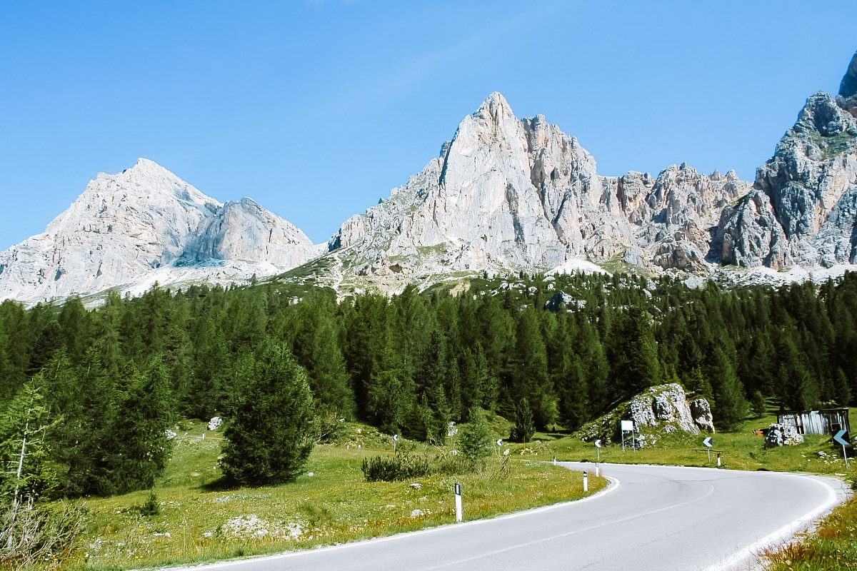
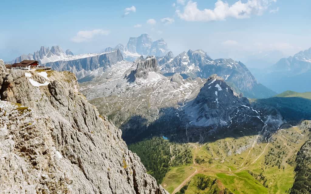
The Passo Falzarego mountain pass is famous for its World War I remains around the massive Lagazuoi (2835 m). It’s like an open-air museum because the whole area was an important strategic location during the war.
Passo Falzarego is on the other side of Passo Giau.
Useful information about Passo Falzarego
Location: The Falzarego Pass connects the town of Cortina d’Ampezzo with the Fodom Valley in the province of Belluno. It is 25 km long.
What is the price for the Passo Falzarego: free
What are the opening hours: the pass is open in good weather and snow conditions all year round, including winter.
Things to do on the Passo Falzarego
You can spend hours around the Passo Falzarego mountain pass. Hiking trails take you, for example, to Lago di Limides (40 minutes) or to the Cinque Torri rock massif (2.5 hours, also accessible from Passo Giau).
Or take the cable car to the top of Lagazuoi and extend your journey down through the tunnel that was carved into the rock in Lagazuoi during the war. It is freely accessible, but it is dark (the only light is from small rock windows), so pack a headlamp.
8. Passo di Sella (Sellajoch)
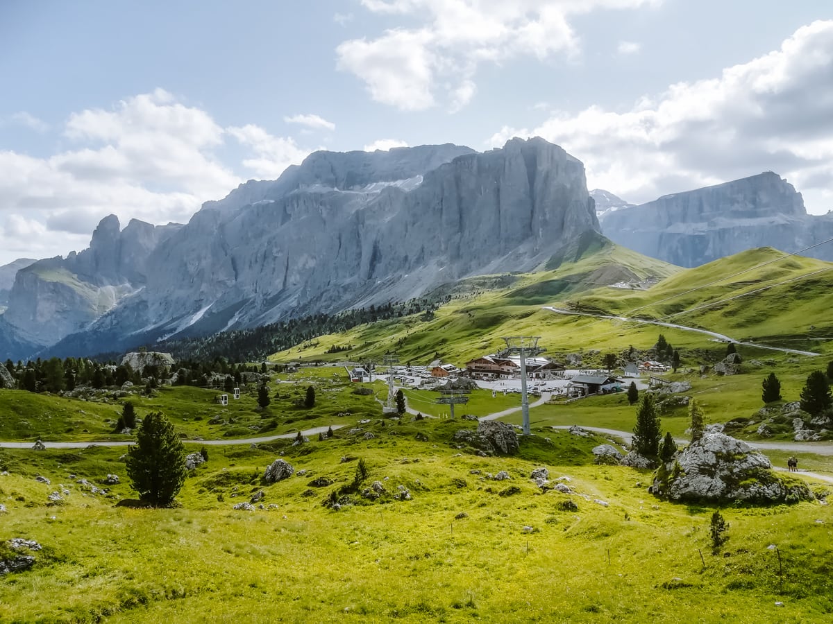
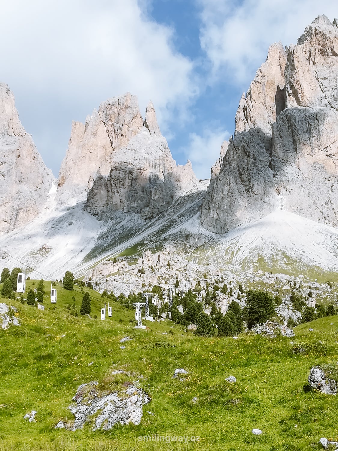
Passo Sella is a mountain pass in Italy, located near Passo Pordoi in the western Dolomites. It is a great place for breathtaking views, hiking and winter skiing.
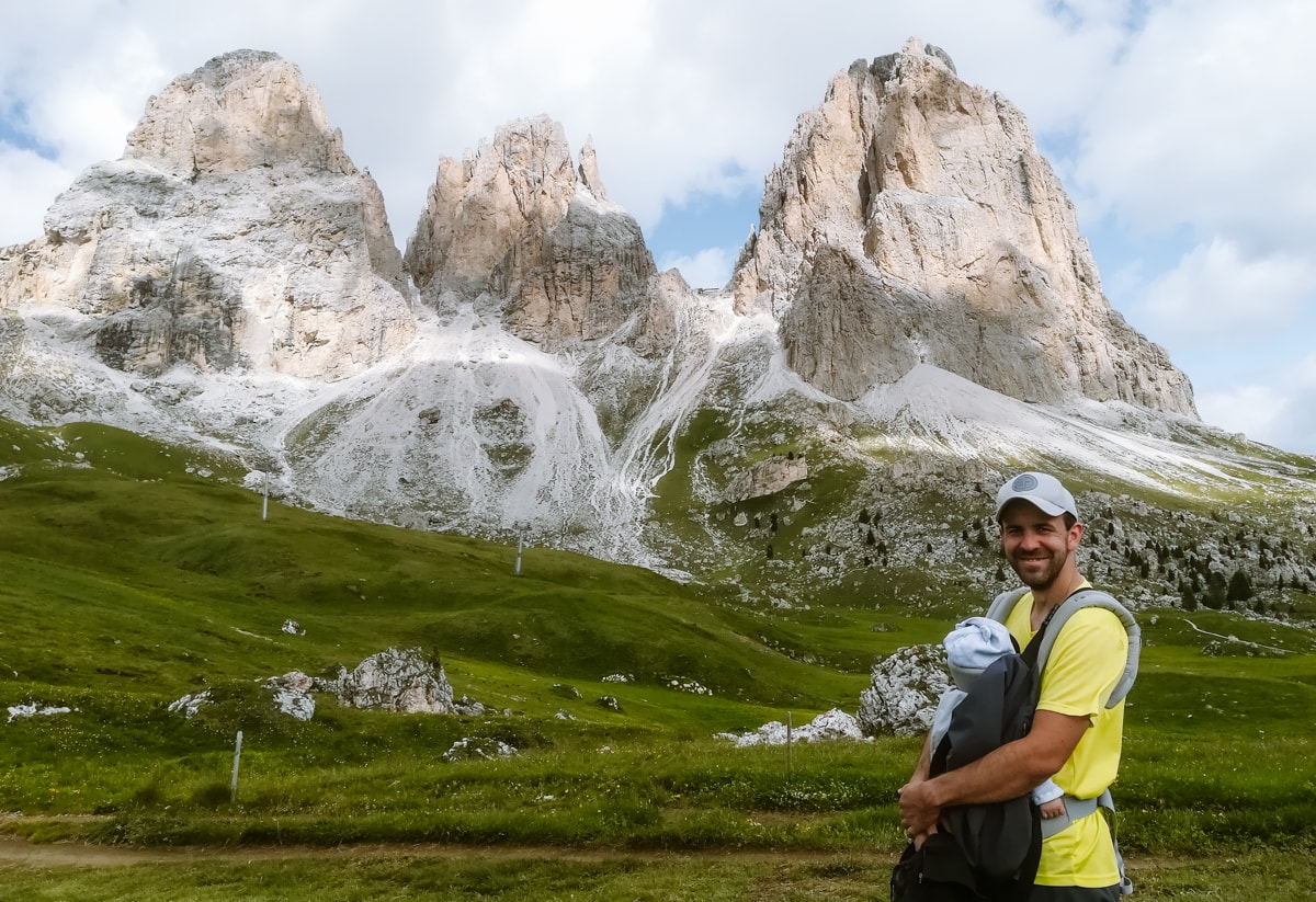
The Passo di Sella area is dominated by the famous Sella massif and the majestic peak of Sassolungo (Langkofel), translated as the Long Rock.
Useful information about Passo Sella
Location: at an altitude of 2,240 m, Passo Sella is one of the highest mountain passes in Italy. This pass connects Val Gardena (Gröden) in South Tyrol with Val di Fassa in Trentino.
What is the price for the Passo Sella: free
What are the opening hours: the pass is open in good weather and snow conditions all year round, including winter.
Things to do on the Passo di Sella
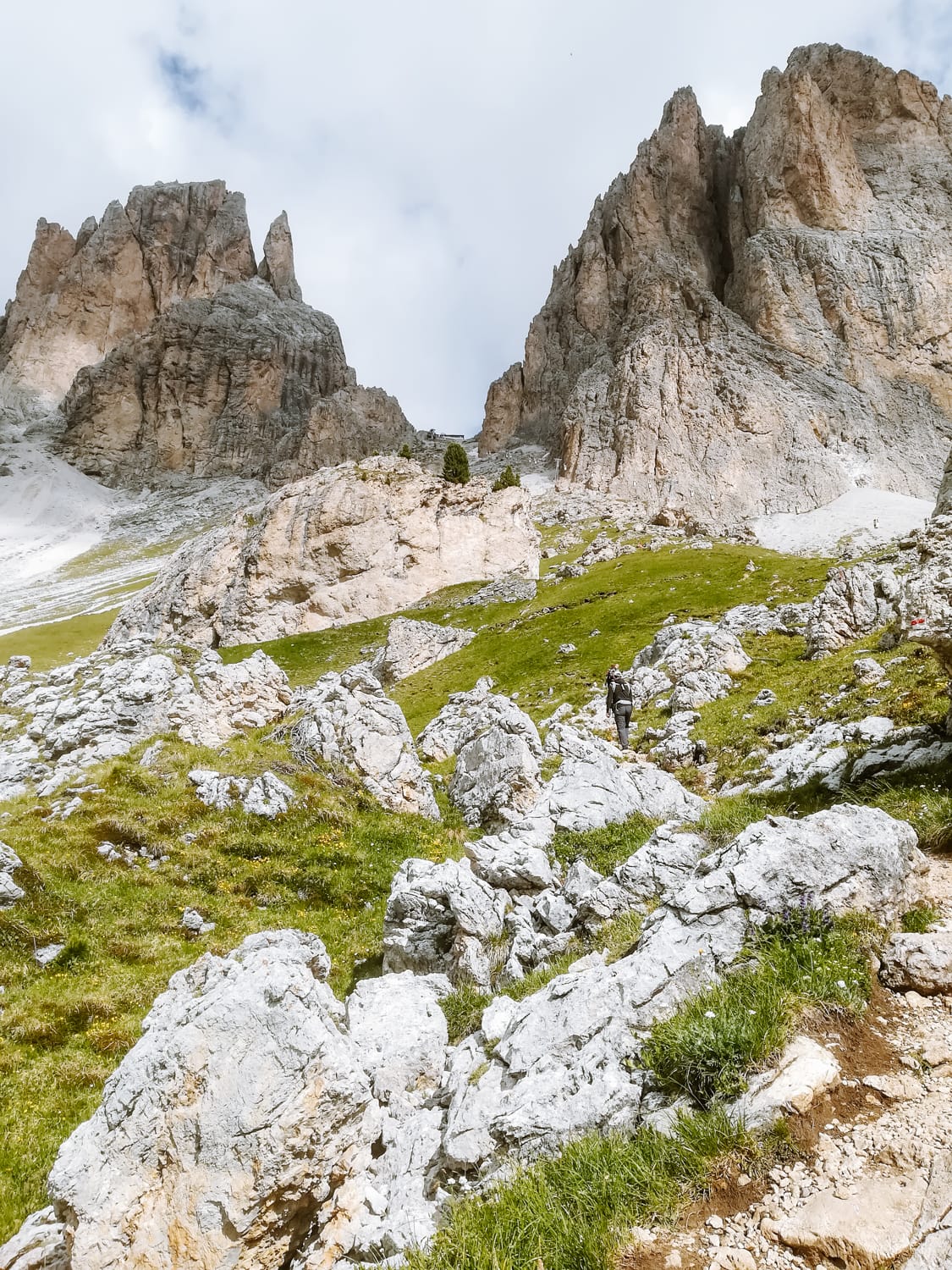
Most visitors to Passo Sella just drive through or stop for a view, which is a great pity. There are hiking trails of different difficulty levels in the surroundings. Take an easy hike among the alpine pastures or head to the Sassolungo saddle and enjoy the views of the Sass Pordoi opposite and the Marmolada beyond.
If you feel like trying something unusual, the lower station of the oldest gondola is right next to the main car park. Only 2 people can fit in the cab and boarding and alighting is done on the move.
☞ We have written a separate guide on what to do in the Passo Sella area.
9. Passo Pordoi (Pordoijoch)
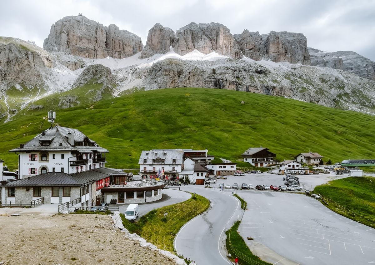
The Passo Pordoi, also known as the Pordoi Saddle, lies at an altitude of 2,239 m and is the second highest mountain pass in Italy. The first is the famous Passo dello Stelvio with 48 turns and an altitude of 2,758 metres (see above).
It is nestled between the Sella and Marmolada mountain groups, two major peaks in the Dolomites that guarantee fantastic views. It is also often included in the route of the famous Giro d’Italia cycling race.
The pass has an important historical position, especially during the First World War, when some key battles between Italian and Austro-Hungarian troops took place here.
Useful information about Passo Pordoi
Location: Passo Pordoi connects the towns of Canazei and Arabba and forms the border between the districts of Trento and Belluno. The length is 21 km.
What is the price for the Passo Pordoi: free
What are the opening hours: the pass is open in good weather conditions all year round, including winter.
Things to do on the Passo Pordoi
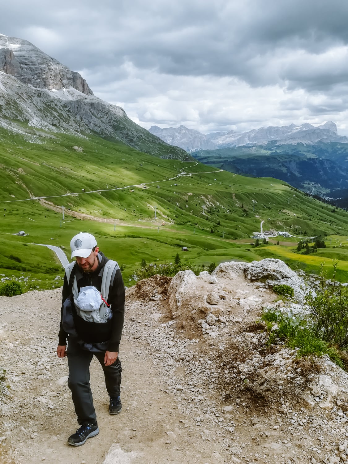
Take the cable car to Sass Pordoi and enjoy breathtaking views of the Dolomites. From the top station of the cable car you can take an easy hike to the top of Piz Boè.
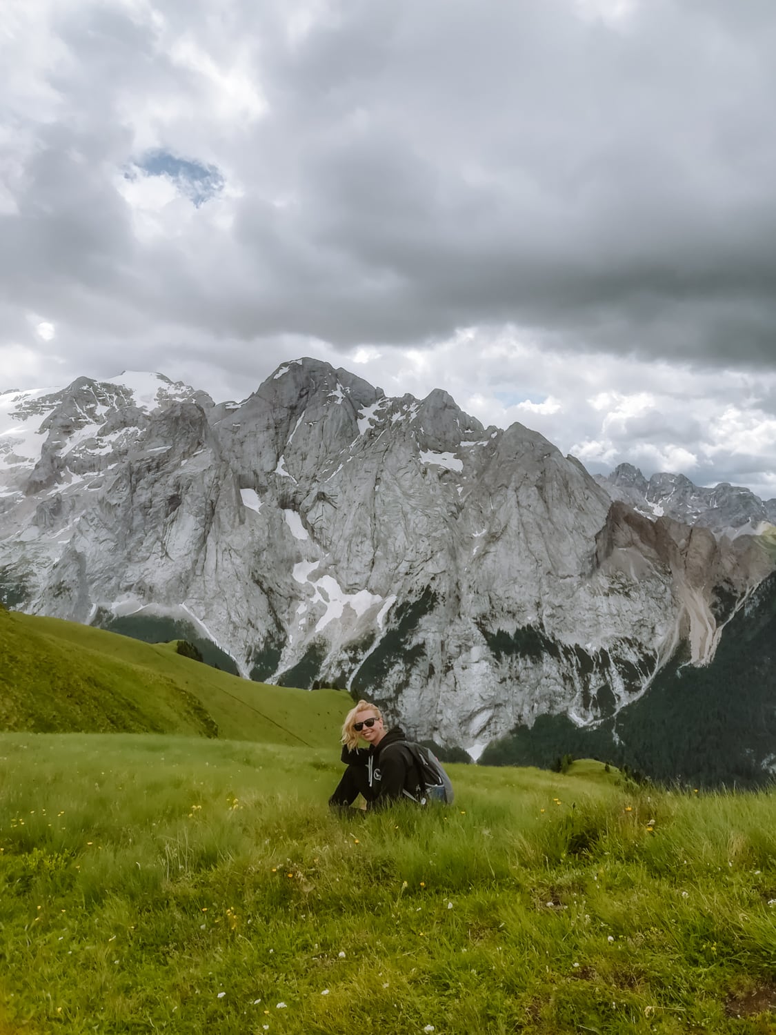
Or head the other way from the pass – along the old trade route, which takes you to the Fedaia Dam with views of the Marmolada, the highest peak in the Dolomites.
☞ We have written a separate guide on what to do around Passo Pordoi.
By car to Austria and Italy
Below you will find the charges that you can expect when travelling by car to Austria or Italy. However, the final fees depend on the exact route and mountain pass you choose.
- A motorway vignette for Austria for €11.50 for 10 days (motorbikes €4.60).
- Payment for crossing the Brenner Pass between Innsbruck and the Austrian-Italian border 11 €
- The toll in Italy is about 8-9 € per 100 km. You can pay the toll in cash or by card. Each payment gateway has a symbol at the top showing how you can pay.
The Brenner Pass vignette and payment for Austria can be purchased online in one place.
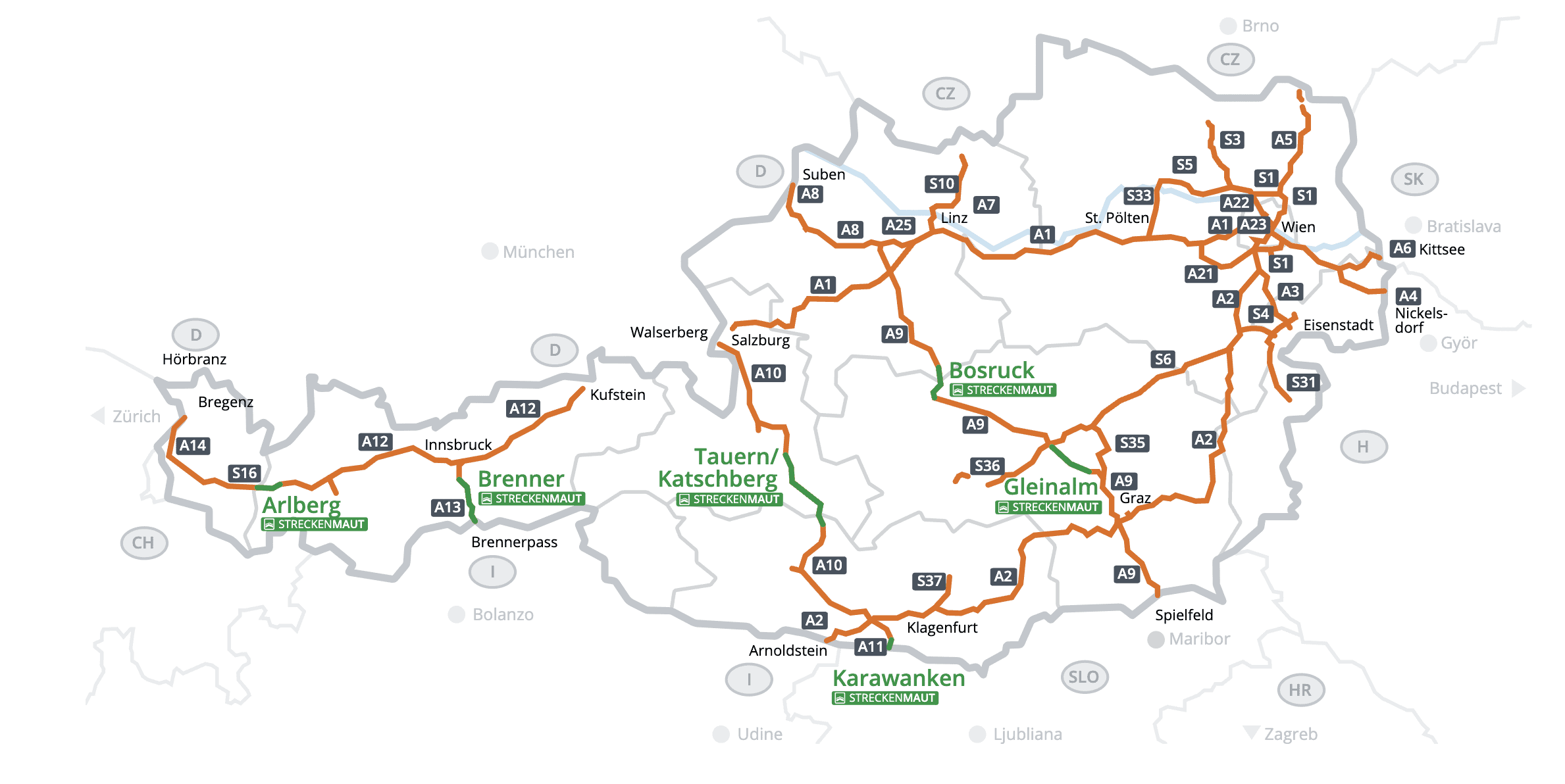
In addition to the vignette, Austria is known for its toll sections (so-called section tolls), for which you have to pay separately. Travellers from Prague and the Czech Republic will mostly be charged €11 for crossing the Brenner Pass. From Moravia you can probably avoid the toll sections, but you can still check your route on the map below (toll sections are marked in green).
You can pay in cash or by card directly at the tollgate, or you can pay by credit card at the tollgate. online on the ASFINAG website.
Petrol and diesel prices vary from country to country. For current fuel prices, please follow this link.
Follow this link for up-to-date information on traffic in Italy (tolls, closures, etc.). Google maps will also provide you with sufficient information.
The most beautiful alpine roads in Austria and Italy on the map
HOW TO USE THIS MAP: Above you will find a map with tips on the most beautiful mountain roads in Austria and Italy. Click at the top left of the map to see separate layers with highlighted locations. You can hide and show the different layers or click on the icons on the map to see the names of the places I mention in the guide about mountain roads and passes in Austria and Italy. If you want to save the map, star it. For a larger version, click on the icon in the upper right corner.
These were our picks for the most beautiful alpine roads in Austria and Italy. Do you have a question? We’ll be happy to answer it in the comments below. Have a safe journey!
More information about Austria and Italy
AUSTRIA: What to see in the Austrian Alps is covered in a separate article. Here are the most beautiful lakes in Austria. Or get inspired with tips on the best places to go in Austria.
ITALY: Here are the most beautiful places not to miss in Italy. Get inspired by the most beautiful hikes and excursions in the Dolomites. We have prepared a detailed guide to the Dolomites (prices, food, transport and other tips).
Would you like to combine hiking with swimming? Here are tips for Lago di Garda or the more westerly Lago di Como.
