Passo di Giau is a high mountain pass in the Dolomites in northeastern Italy. The pass is located at an altitude of 2,236 metres in UNESCO area no. 1 PELMO CRODA DA LAGO in the province of Belluno and connects the towns of Cortina d’Ampezzo and Selva di Cadore.
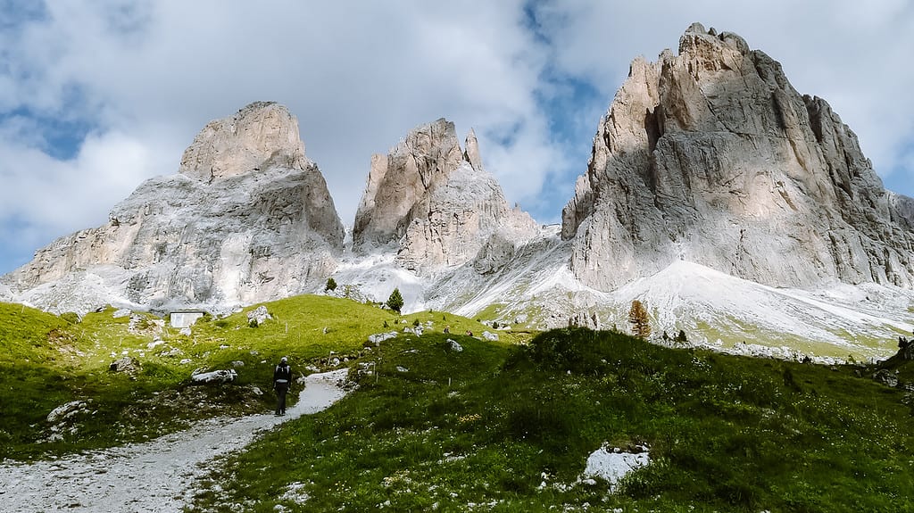
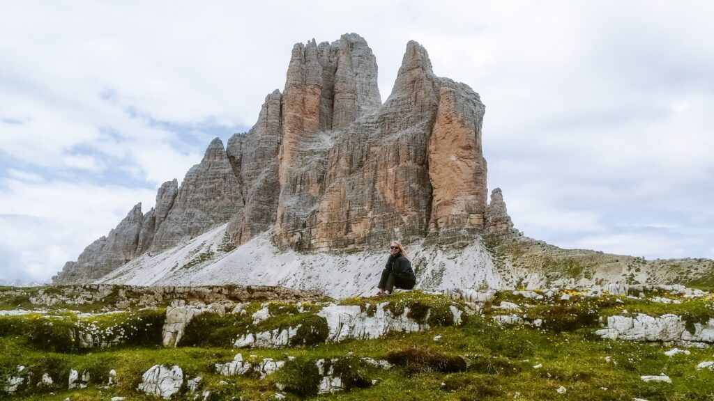
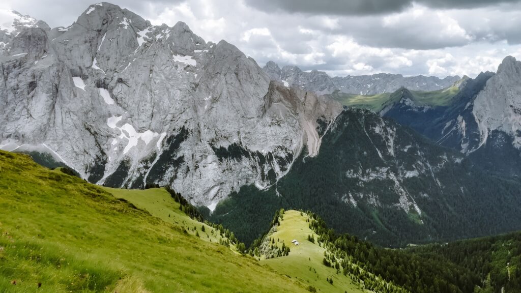
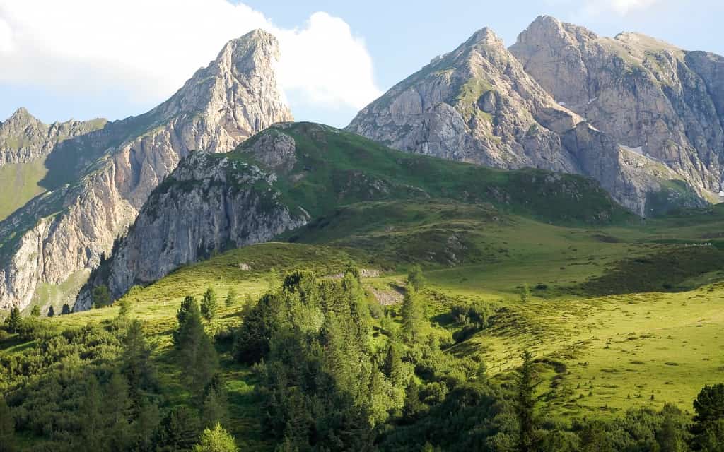
The mountain pass is famous for its breathtaking scenery with dramatic rock formations, green meadows and wildflowers. From the pass and surrounding trails, you can enjoy views of some of the Dolomites’ most famous peaks, including Nuvolau, Monte Averau and the Tofane group.
In our opinion, Passo Giau is one of the most beautiful places in the Dolomites and one of the top 10 places to visit in the Dolomites.
Let’s take a look at practical information and hikes around Passo di Giau so you can plan your perfect itinerary for your visit to the Dolomites.
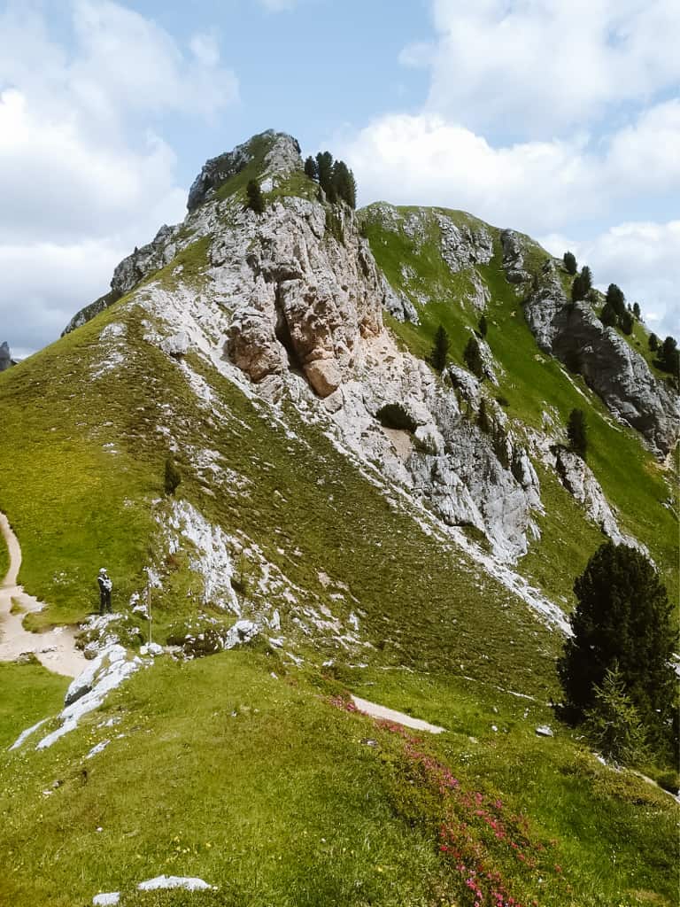
Passo Giau, Dolomites, Italy
Passo Giau is state road no. 638. It’s a motorist’s paradise because it consists of many steep curves with a maximum gradient of 14%. That is why it is one of the most visited passes.
The pass is open in good weather conditions all year round, including winter.
The top of the pass is the peak of Ra Gusela (2595 m). Just behind it are the peaks of Nuvolau (2574 m) and Averau (2648 m).
From Passo Giau you can see the Agordin Dolomites, including the highest peak of Marmolada, Monte Civetta, Torri del Sella, the Cadore and Ampezzo Dolomites, the peaks of Tofana, Antelao, Cristallo and Sorapis.
From here, you can go to many interesting places such as the Cinque Torri, the peaks of Averau or Nuvolau or the Mondeval plateau, where the skeleton of Mondeval Man was discovered. You can choose from easy trails (suitable for children) or more demanding day hikes.
On the other side of Passo Giau is Passo Falzarego, where you can see many remains from the war.
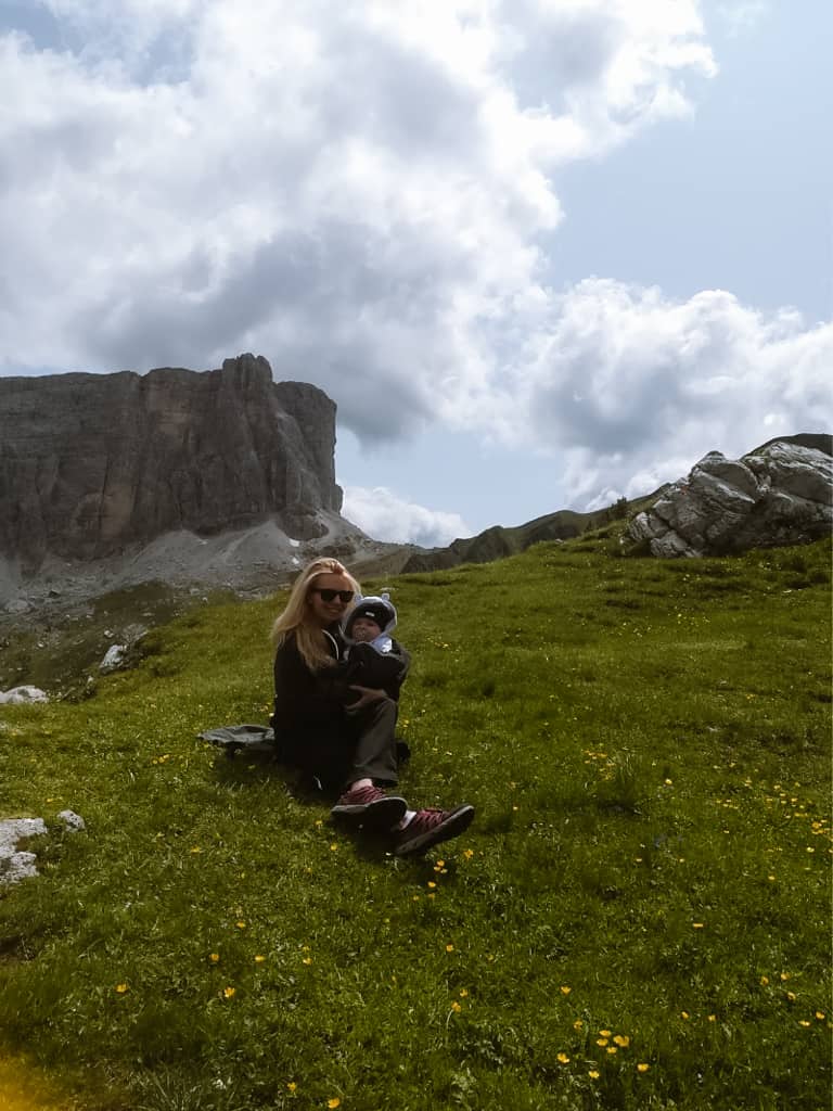
Parking at Passo Giau
Parking at Passo Giau is free. Unlike other famous passes, the parking lot is smaller, but we were here in high season and parked without any problems. There are fewer tourists here than on Passo Sella or Passo Pordoi.
When to visit Passo Giau in the Dolomites?
The peak season is in July and August. In addition, August is siesta season in Italy, so Italians go on holiday. Sardinia or the Dolomites, so expect even more visitors.
Be sure to book your accommodation well in advance during this period, as last-minute offers are limited and often at higher prices (we’ve listed some tips in the article below).
You can also enjoy beautiful weather and flowering meadows in June, and at lower altitudes from May onwards, when the first mountain huts open.
September and October are other great months to visit the Dolomites. Nature is wrapping itself in warm tones and the Dolomites in autumn…it’s just beautiful. Moreover, tourists are decreasing and prices are lower.
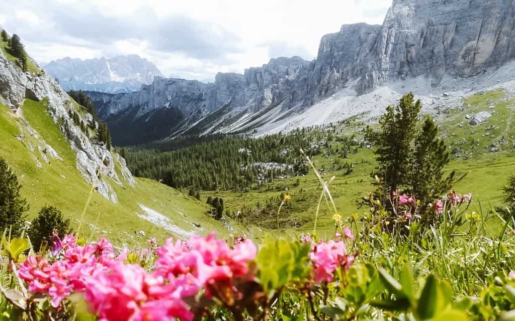
The most beautiful hiking trails around Passo Giau
1. Route to Rifugio Nuvolau with panoramic view
- Difficulty: easy to moderate depending on the chosen route
- Time: 45 minutes to 2 hours one way
- Route map Passo Giau – Rifugio Nuvolau
Rifugio Nuvolau is a mountain hut located at an altitude of 2575 metres on the Nuvolau peak.
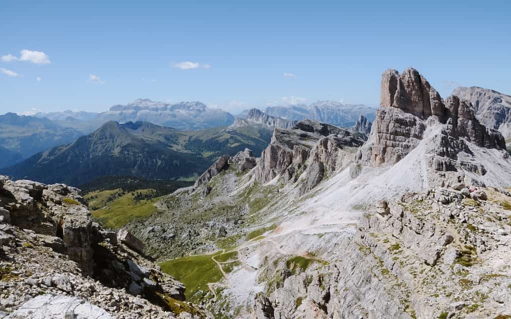
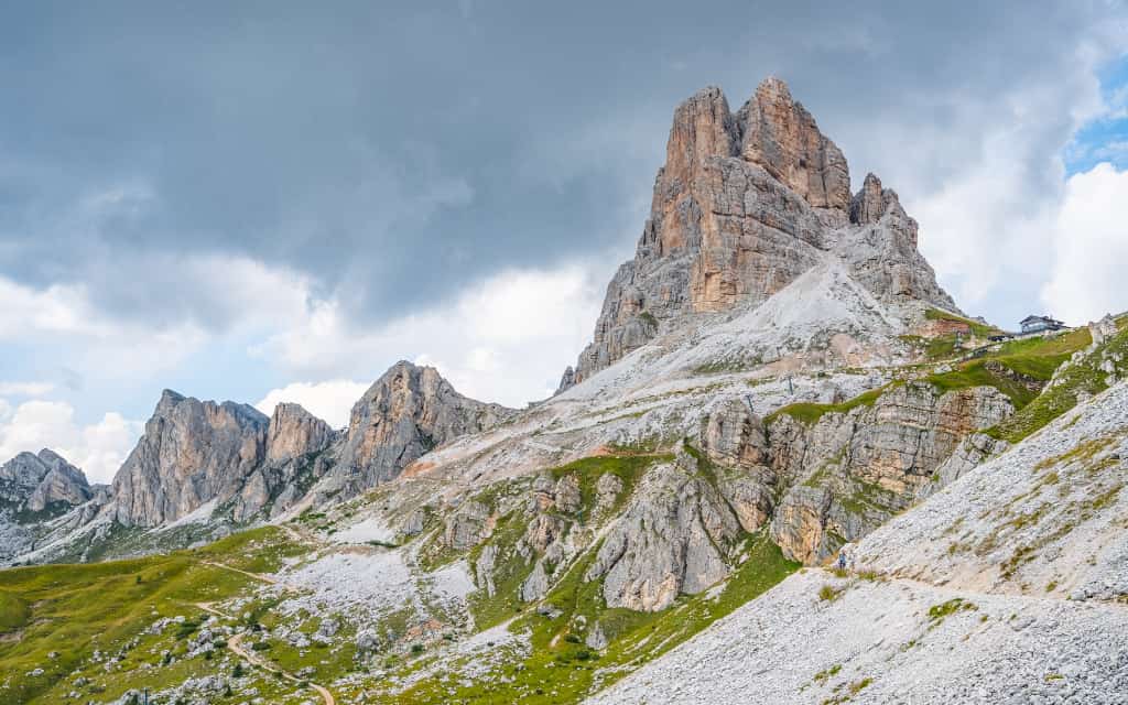
The easiest route starts at the Rifugio Fedare, which lies just below the Passo Giau saddle – west of Ra Gusela. From here, a cable car to the Rifugio Averau operates in the summer months. Here you will have a great view of the Cinque Torri rock massif and the Tofane peak. These are 2 km away along the Alta via n.1 delle Dolomiti.
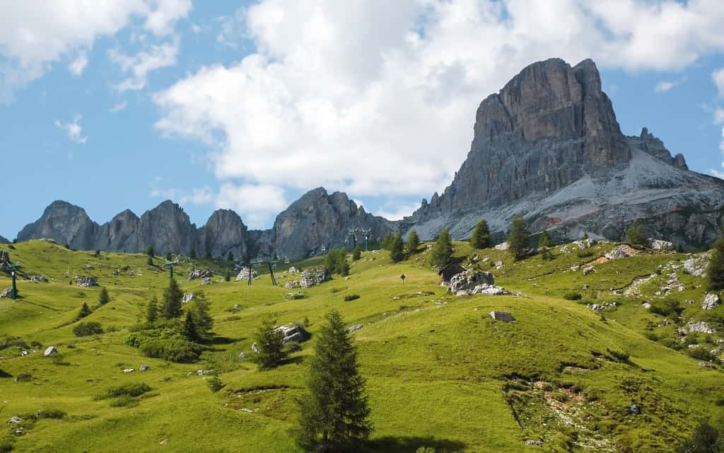
From the top station of the cable car, take route 439 along the huge rock wall to reach the Rifugio Nuvolau in about 30 minutes. From the cottage you will have a circular view of the beautiful surrounding countryside.
If you don’t want to take the cable car, I recommend the route around the top of Ra Gusela. Park in Passo Giau and head towards Ra Gusela. You follow route 452, then 464 and from Rifugio Averau route 439. The route is in this case less than 2 hours long with an elevation gain of 400 metres.
2. Route to Lago di Baste
- Difficulty: easy
- Time: 1.5 hours one way
- Map of the route to Lago di Baste
The route to Lake Baste is less visited, but the views from here are definitely worth it. The lake is small (especially after summer), but in good light the surrounding peaks are beautifully reflected in its surface.
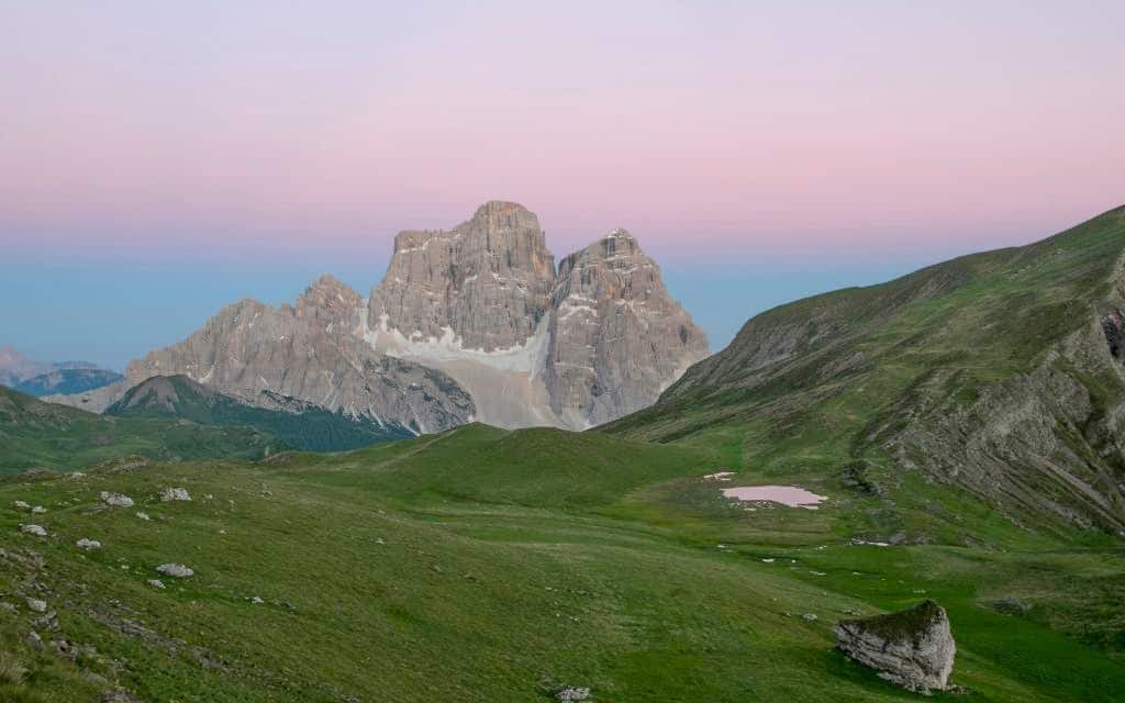
From Passo Giau you go exactly the other way from Ra Gusela – along the 436 trail towards Alta via no. 1 along the high Val di Zonia. If you are lucky, you will see chamois grazing along the ridge of Monte Cernera.
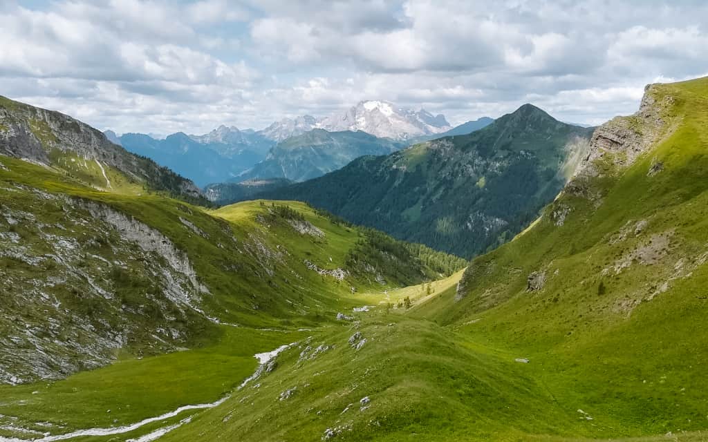
You cross the Forcella de Col Piombin saddle and descend slightly and then climb again to the Forcella Giau saddle.
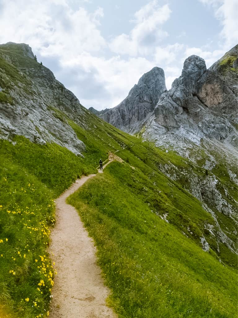
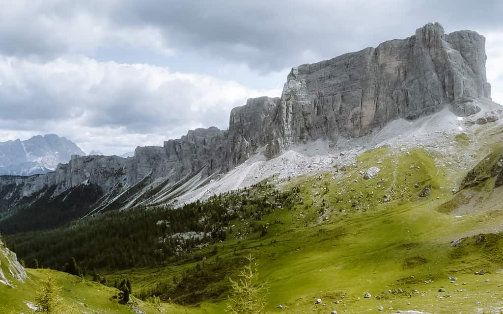
In front of you now lies the plateau of Mondeval de Tora, where you can already see the smaller Lake Baste. A path leads to it on the right or through high mountain pastures. After passing a few boulders you are at Lago di Baste.
3. Route to the Cinque Torri rock massif
- Difficulty: moderate
- Time: 4-5 hours round trip
- Map of the circular route Passo Giau – Cinque Torri
The Cinque Torri is a small group of rock formations, which consist of five main rock towers, each of them differing in height and shape – Torre Grande, Torre Seconda, Torre Latina, Torre Quarta, Torre Inglese.
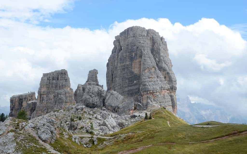
During the First World War, the Dolomites were a battlefield between Italian and Austro-Hungarian troops, and the remains of this conflict can still be found around the Cinque Torri, including trenches and tunnels.
Most visitors choose the route from Passo Falzarego, from where it is easy and quick to get up by cable car. We’ll make the trip longer, but it will be all the more interesting.
Park the car at the highest point of Passo Giau and head towards Ra Gusela. Go around Ra Gusela from the left side on the trail 452 past the Averau hut and then from the hut in the direction of Rifugio Scoiattoli and Rifugio Cinque Torri. Slightly downhill and in 40 minutes you are at the finish.
At Cinque Torri you can take a tour and visit the World War I museum with its bunkers and trenches. The circuit is about an hour long and is easy.
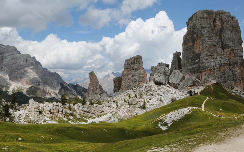
You can return to Passo Giau by the same route or take route 443 and make a circuit from the other side of Ra Gusela.
If you want to shorten your route, you can just take the cable car from Rifugio Fedare to Rifugio Averau, from where it’s only 40 minutes of easy downhill to Cinque Torri.
Or if you want to extend it, you can also include the Rifugio Nuvolau in your itinerary to create a full-day trek with spectacular views.
Where to stay near Passo di Giau?
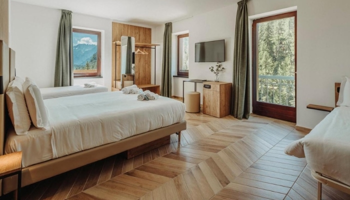
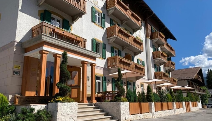
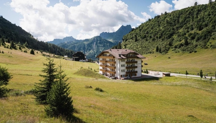
If you are planning trips and hikes in the Passo Giau area, I recommend accommodation between Arabba, Selva di Cadore and Cortina d’Ampezzo.
The Dolomites have become increasingly popular in recent years and the best value hotels are soon fully booked. For this reason, it is a good idea to choose your accommodation in advance.
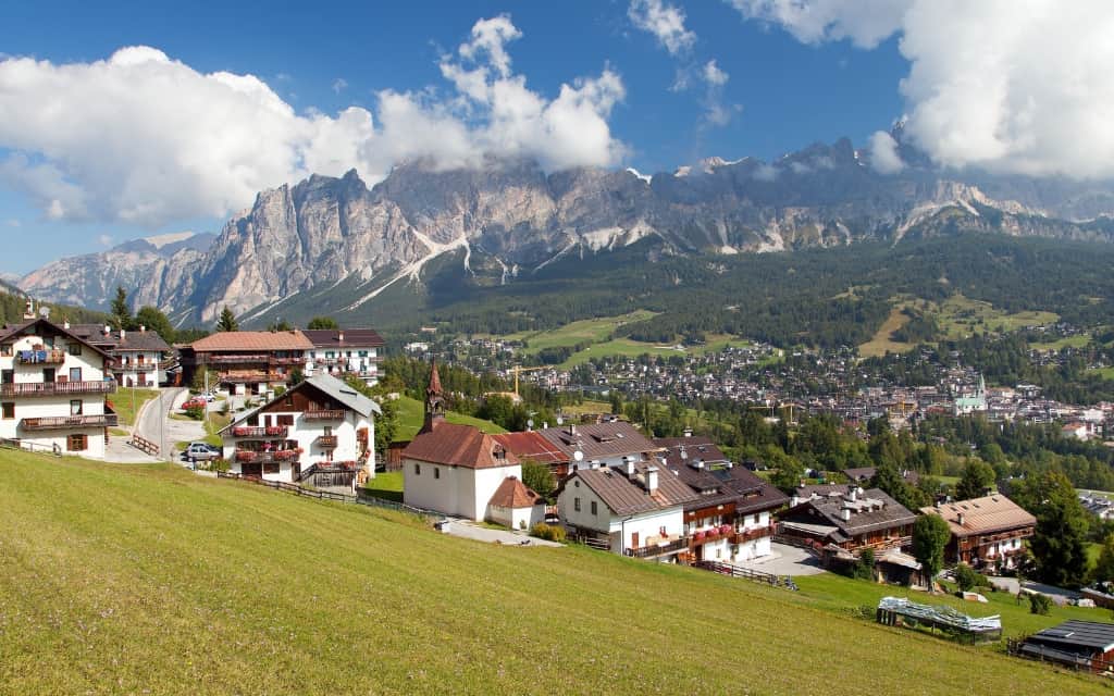
Cortina d’Ampezzo provides the best facilities and offers a range of excursions including Tre Cime, Lago di Sorapis and Passo Falzarego.
- B&B Hotel Passo Tre Croci: Modern three-star hotel with a strategic location directly on Passo Tre Croci. Strategic location for hiking trails in the area (Lago di Sorapis, Monte Cristallo area).
- Hotel Piccolo Pocol: Pleasant hotel in the mid-price range above Cortina d’Ampezzo, a short walk from Passo Giau and Passo Falzarego. A good choice for couples and families with children.
- Hotel Serena: 3* hotel with great value for money, restaurant and free parking on site.
Accommodation in the Dolomites 😴
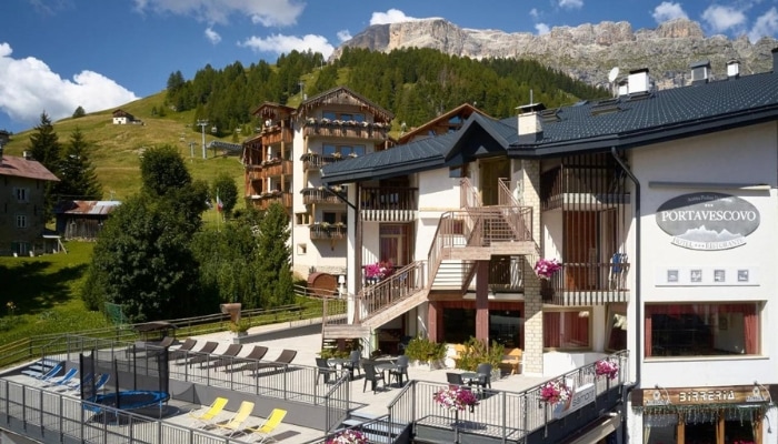
Arabba is west of Passo Giau and provides a great base for those planning to explore both the eastern and western Dolomites (Cortina is better for exploring the eastern part). From Arabba you can hike to the top of the Marmolada or Passo Pordoi.
- Chalet Barbara: Beautiful, cosy Alpine-style accommodation with excellent service, wellness and free parking.
- Hotel Portavescovo: Pleasant 3-star hotel in the centre of Arabba with swimming pool, sauna and free parking. Possibility of half board.
- Apparthotel Sellaronda: Cheap accommodation in fully furnished apartments for couples and larger families and groups. Free parking, playground.
Accommodation in the Dolomites 😴
Map of Passo Giau
HOW TO USE THIS MAP: Above you will find a map of Passo Giau in the Dolomites, Italy. Click at the top left of the map to see separate layers with highlighted locations. You can hide and show the different layers or click on the icons on the map to see the names of the places I mention in the Passo Giau guide. If you want to save the map, star it. For a larger version, click on the icon in the upper right corner.
These were our tips for the mountain pass Passo Giau, Dolomites. Do you have a question? We’ll be happy to answer it in the comments below. What are you planning to visit in the Dolomites? Have a safe journey!
More information about Dolomites
DOLOMITES: Get inspired by tips for hikes and walking routes in the Dolomites. We have prepared a detailed guide to the Dolomites (prices, food, transport and other tips).
BEST PLACES IN THE DOLOMITES: Passo Pordoi is our favourite pass in the Dolomites. For tips on hiking routes in the Sassolungo area, see the article on Passo Sella.
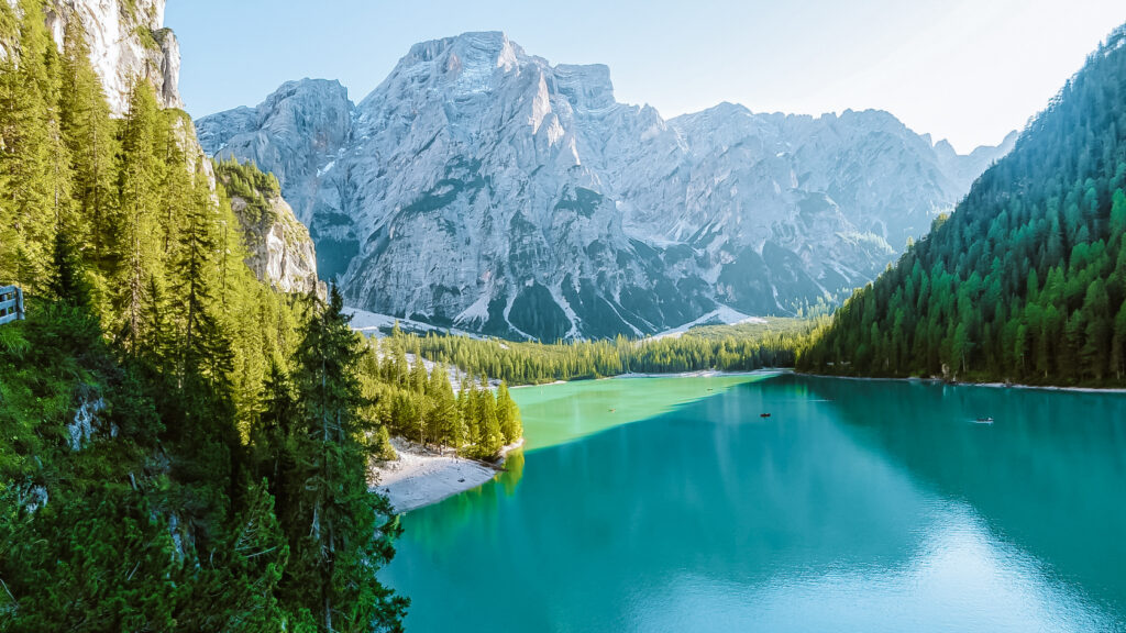
No visit to the Dolomites is complete without Tre Cime and the iconic Lago di Braies. In separate guides you will find everything you need to know before visiting.
AUSTRIAN ALPS: What to see in the Austrian Alps is covered in a separate article. Or head straight to Tyrol or the High Tauern National Park. Other popular destinations in the Austrian Alps are the Dachstein mountain range or the beautiful Lake Achensee.

