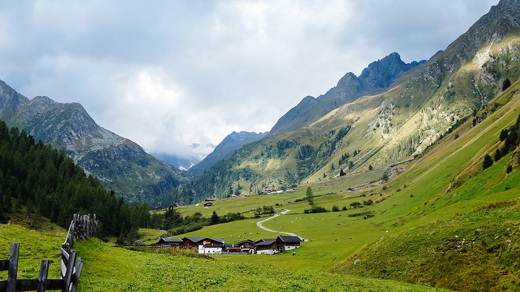
When you say Italy, most people in my area think of the sea. What do I remember? The Dolomites and the most beautiful alpine lakes. The most beautiful places not only in Europe, but also in the world. It includes, among others, the Sexten Dolomites, which hide one of the most famous places in the Dolomites and the Italian Alps – Tre Cime di Lavaredo.
In this article we’ll cover everything you need to know before your visit – how to get to Tre Cime, what routes are nearby, parking and other practical tips.
- Why visit the Sexten Dolomites?
- The most beautiful places in the Dolomites: Tre Cime di Lavaredo
- When to visit Tre Cime di Lavaredo?
- Parking at Tre Cime di Lavaredo
- Toll to Tre Cime di Lavaredo
- Bus to Tre Cime
- Hiking trails in the surroundings of Tre Cime di Lavaredo
- Where to stay near Tre Cime in Italy?
- Tre Cime in the Dolomites on the map
- More information about Dolomites
Why visit the Sexten Dolomites?
The Sexten Dolomites are a hiking paradise. With well-marked hiking routes, easy trails and multi-day hikes, and nature that will take your breath away. It’s a great place for all ages, from singles to families.
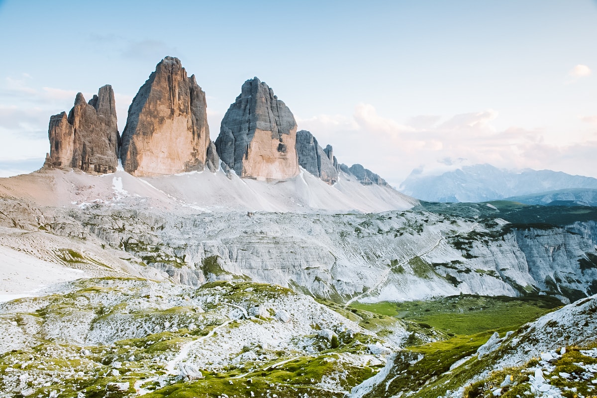
There are four peaks in the Sexten Dolomites that are over three thousand metres above sea level, including the highest peak of the Dreischusterspitze. Nevertheless, the most famous peak remains the Tre Cime Peaks with the highest peak, Große Zinne, only one metre short of 3,000 metres.
The most beautiful places in the Dolomites: Tre Cime di Lavaredo
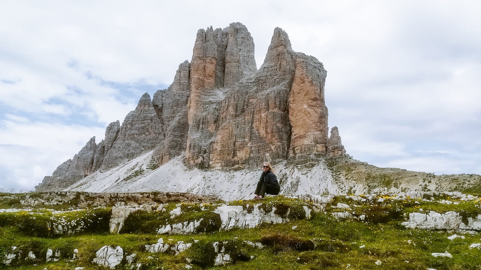
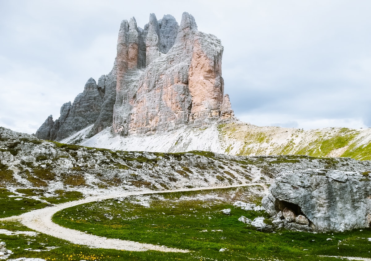
Tre Cime di Lavaredo is located in the Tre Cime Natural Park and is undoubtedly one of the most beautiful places in the Dolomites.
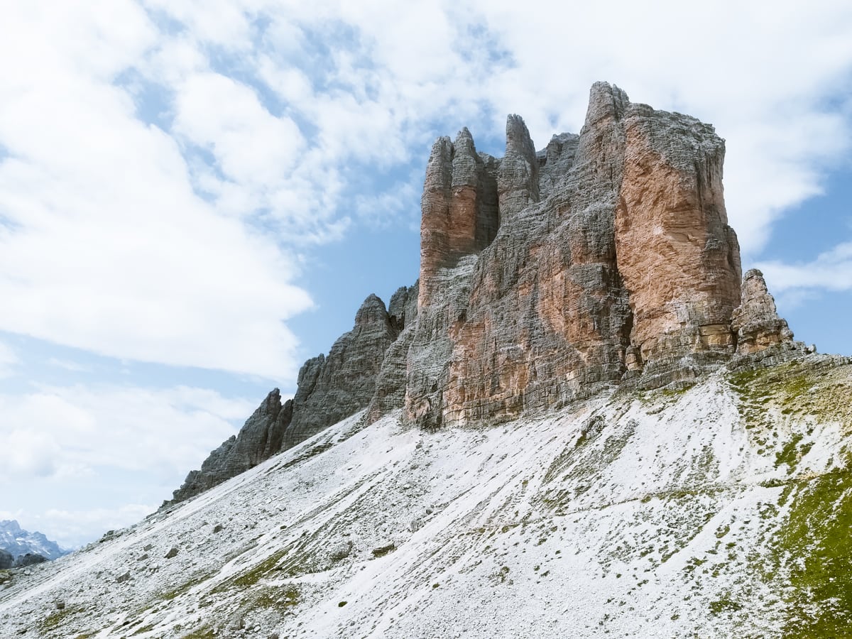
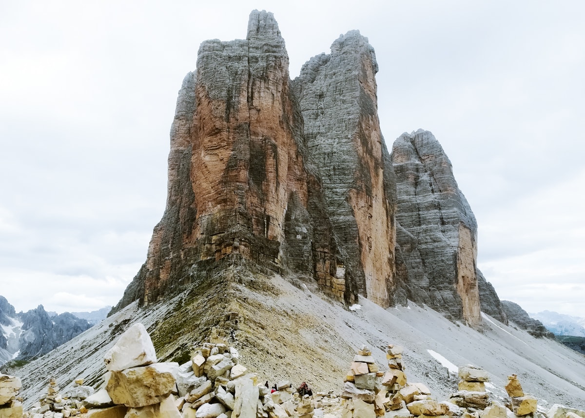
These are three iconic limestone peaks listed as UNESCO World Heritage Sites. Tre Cime di Lavaredo is the most famous symbol of the Dolomites and if you are a lover of mountains and hiking, you should not miss a trek in this national park.
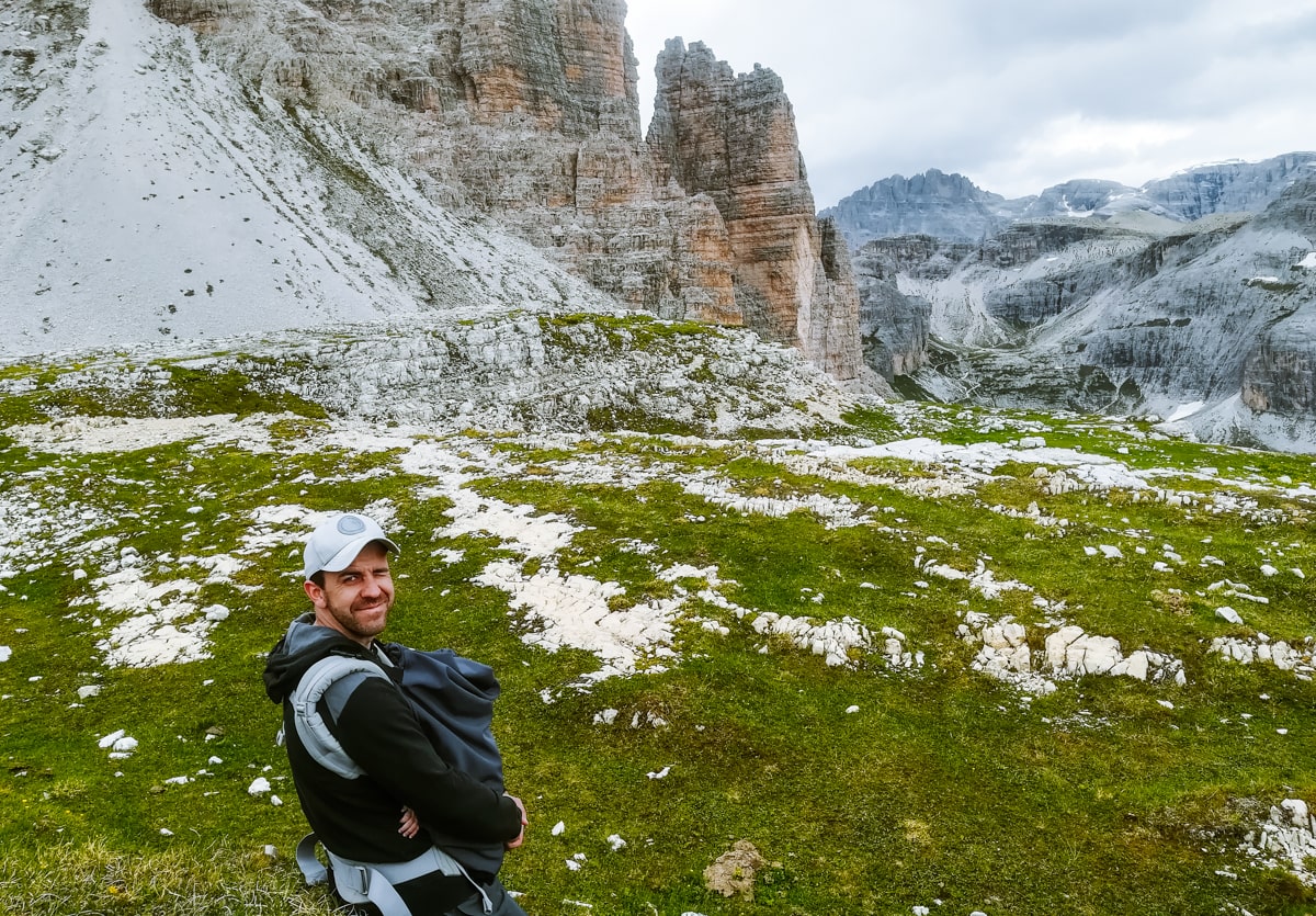
Moreover, you can make many unforgettable treks from here. You can choose from shorter routes suitable for families with children or full-day hikes with overnight stays in mountain huts. In this article, we will show you some tips for hiking trails in the Tre Cime area.
Good to know: Italian and German are spoken in the Sexten Dolomites. You can come across different names for the park – Parco Naturale Tre Cime di Lavaredo in Italian or Naturpark Drei Zinnen in German. Hence the different markings for the shields themselves – Italian Tre Cime, German Drei Zinnen.
When to visit Tre Cime di Lavaredo?
The best time to visit the Dolomites is from mid-June to the end of September, when most of the alpine huts open. The exception is the Rifugio Auronzo, which is usually open from the end of May.
If you want to avoid the crowds, visit Tre Cime di Lavaredo in June or September. We were here in mid-July and the parking lot was almost full in the morning.
If you arrive early in the morning, the journey up to the peaks will be much smoother – you won’t have to dodge buses or caravans in the opposite direction in the narrower sections.
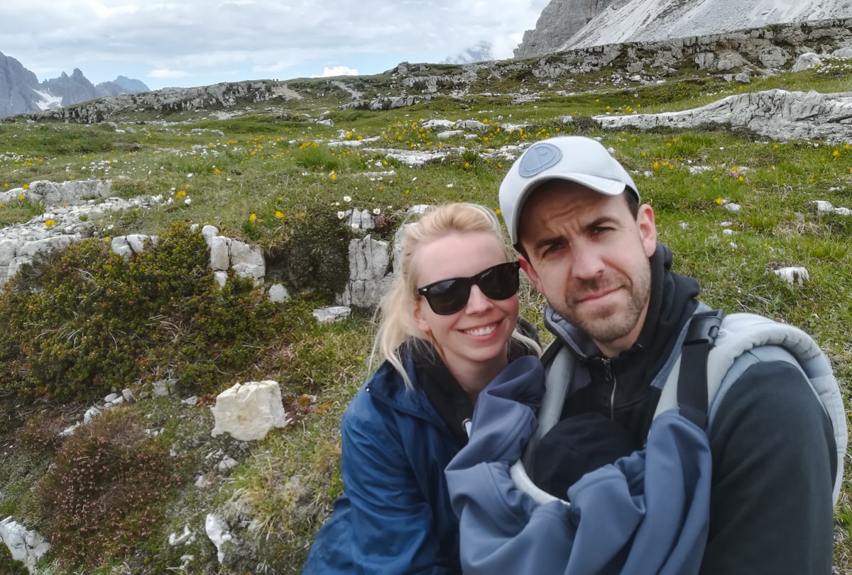
Parking at Tre Cime di Lavaredo
If you want to drive as close to the peaks as possible, the parking lot is right under the Rifugio Auronzo hut next to Tre Cime. You can get here by the high mountain road, which is toll road (more info below) – parking at the top is free. In summer, there is usually valet parking.
The car park is also suitable for caravans and buses.
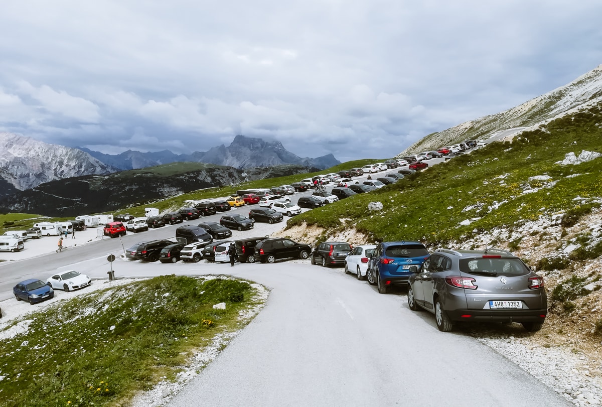
If you want to save money on parking, you can park near the toll gate and Lake Antorno. There is a free parking area here, from where you can head up one of the trails. The ascent to Tre Cime takes about 1.5 to 2 hours.
Another option is the Fischleintal car park in Sexten, which is a perfect base for hiking in the surrounding area. Tre Cime can be reached in 2.5-3 hours. The parking fee is 15 € for the whole day.
If you’re not going to the peaks and just want a view from afar, head to the parking lot called Drei Zinnenblick. It is located in a valley a short walk from Tre Cime and offers beautiful views of the peaks and the surrounding area. The parking fee is 2 € per hour.
All car parks are marked on the map at the end of this article.
☞ Read: Guide to Lago di Braies
Toll to Tre Cime di Lavaredo
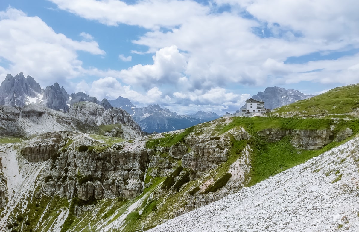
You can reach the foot of Tre Cime by a high mountain road, which is about 5 kilometres long. It is usually open from the beginning of June to October, but it depends on the snow conditions of the year. For up-to-date information, follow the Rifugio Auronzo mountain hut on Facebook.
This high mountain road is toll road (parking at the Rifugio Auronzo hut is free). Tolls are based on whether you arrive by car, motorbike or caravan, and whether you plan to stay overnight.
Here are the prices for 2023 (prices for 2024 are not yet known, but will be the same or slightly higher).
- Cars: 30 €
- Motorcycles: 20 €
- Caravans and vehicles longer than 2.10 m: 45 €
Prices are valid for the day until midnight.
You pay directly at the toll gate just behind Lake Misurina, where there is a machine and a small booth. You can pay by card or cash. During the day, there’s also staff.
The toll gate is open 24 hours a day in summer, and only during the day from mid-September to October.
Tip: Arrive as early in the morning as possible. Already at around 9:00 in the morning there are queues for half an hour and once the parking lot at the top fills up, they don’t let anyone in.
Bus to Tre Cime
In the summer season, the Dolomitibus bus line 31 runs directly from Lake Misurina and takes you to the peaks. A return ticket costs €10.
If you plan to take the bus, take the first bus up. Later, a large number of visitors arrive (even during the week) and queues start to form. You can also buy a ticket online or directly at the bus stop from the ticket machine.
You can find the bus stop marked in our map at the end of the article. You can park right at the bus stop – there is a gravel parking lot for €14 per day. Considering the cost of parking and bus tickets, it is more worthwhile to pay the toll and drive up to the Rifugio Auronzo hut. In this case, however, you need to arrive really early in the morning (ideally by about 8:30).
Hiking trails in the surroundings of Tre Cime di Lavaredo
1. Route through the Rifugio Auronzo hut
- Length of route: 1 hour
- Difficulty: easy – suitable for smaller children and strollers
- Route map
The Rifugio Auronzo is located directly below the iconic peaks. You will bypass them on your journey.
Pay the toll at the start of the panoramic road to Tre Cime and park at the top in the spacious car park directly below Tre Cime. Take the tarmac road to the Rifugio Auronzo hut, which you can see directly from the car park (to the right of Tre Cime di Lavaredo).
You continue past the hut along the wide trail no. 101, which is marked in red. The path is also suitable for children or a stroller that can withstand the gravel terrain.
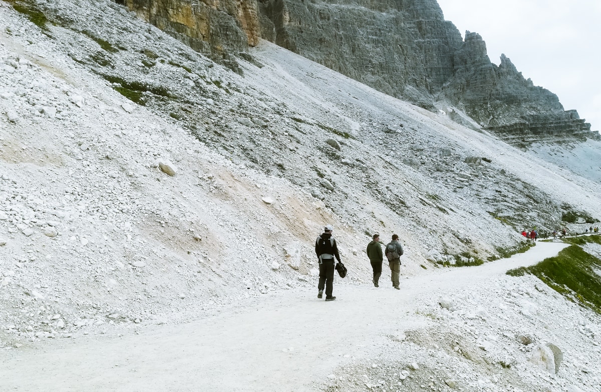
On your left you have Tre Cime, and on your right a long valley winds down to Lago di Santa Caterina in Auronzo di Cadore.
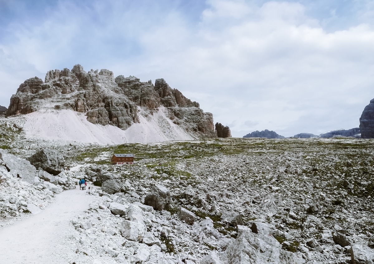
You will reach the Rifugio Lavaredo hut, from where the terrain starts to climb slightly. The red trail will take you to the Forcella Lavaredo saddle in a quarter of an hour.
2. Route to the Dreizinnenhütte mountain hut
- Length of route: 3,5 – 4 hours
- Difficulty: easy – suitable for larger children (not suitable for prams)
- Route map
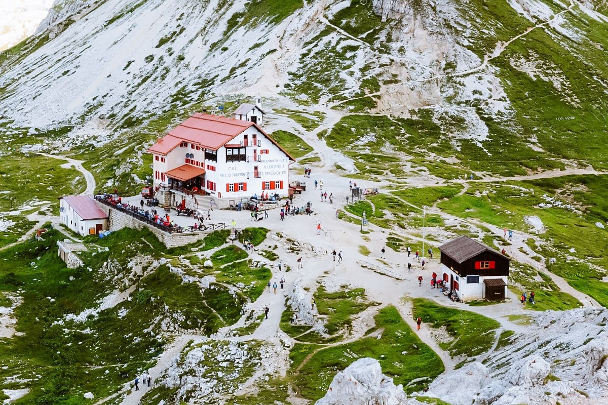
Want to get the most beautiful view of Tre Cime? Follow the previous point until you reach the Forcella Lavaredo saddle. From there, follow the trail no. 101 further on (you can’t miss it) – it will take you directly to the Dreizinnenhütte (Rigugio Locatelli).
The circuit is 10 km long and will take you less than 4 hours. You go around the mountain peaks and gradually return to Rifugio Auronzo and the car park. The route is also suitable for older children.
3. Trek around Monte Paterno (Paternkofel)
- Difficulty: easy to moderate trail on good and well-marked trails
- Tour length: 6 hours
- Starting point: Rifugio Auronzo mountain hut
- Route around the top of Monte Paterno
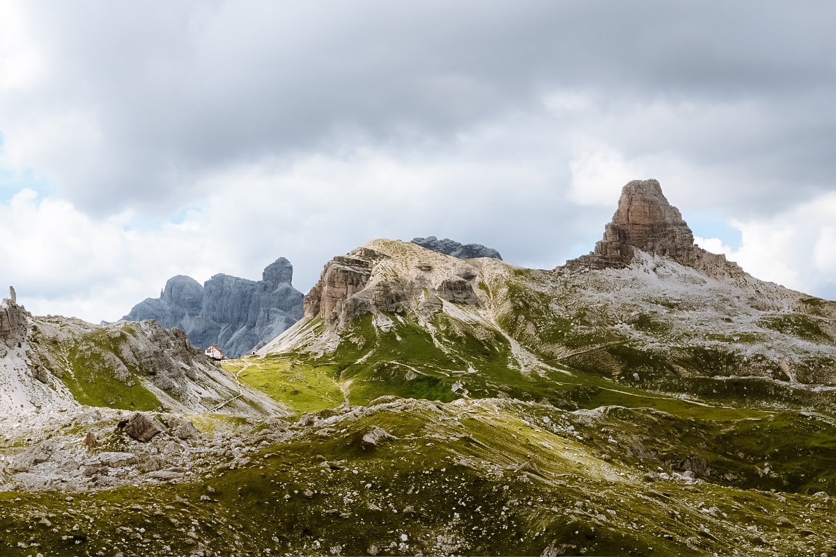
The route initially follows the circular route around Tre Cime di Lavaredo (see above). Starting from the Rifugio Auronzo mountain hut, follow the wide gravel path along the peaks on your left. You reach the Rifugio Lavaredo hut, after which you turn right at the next signpost past the Lagho di Lavaredo lakes and continue down through the scree and meadows of the Pian di Cengia plateau.
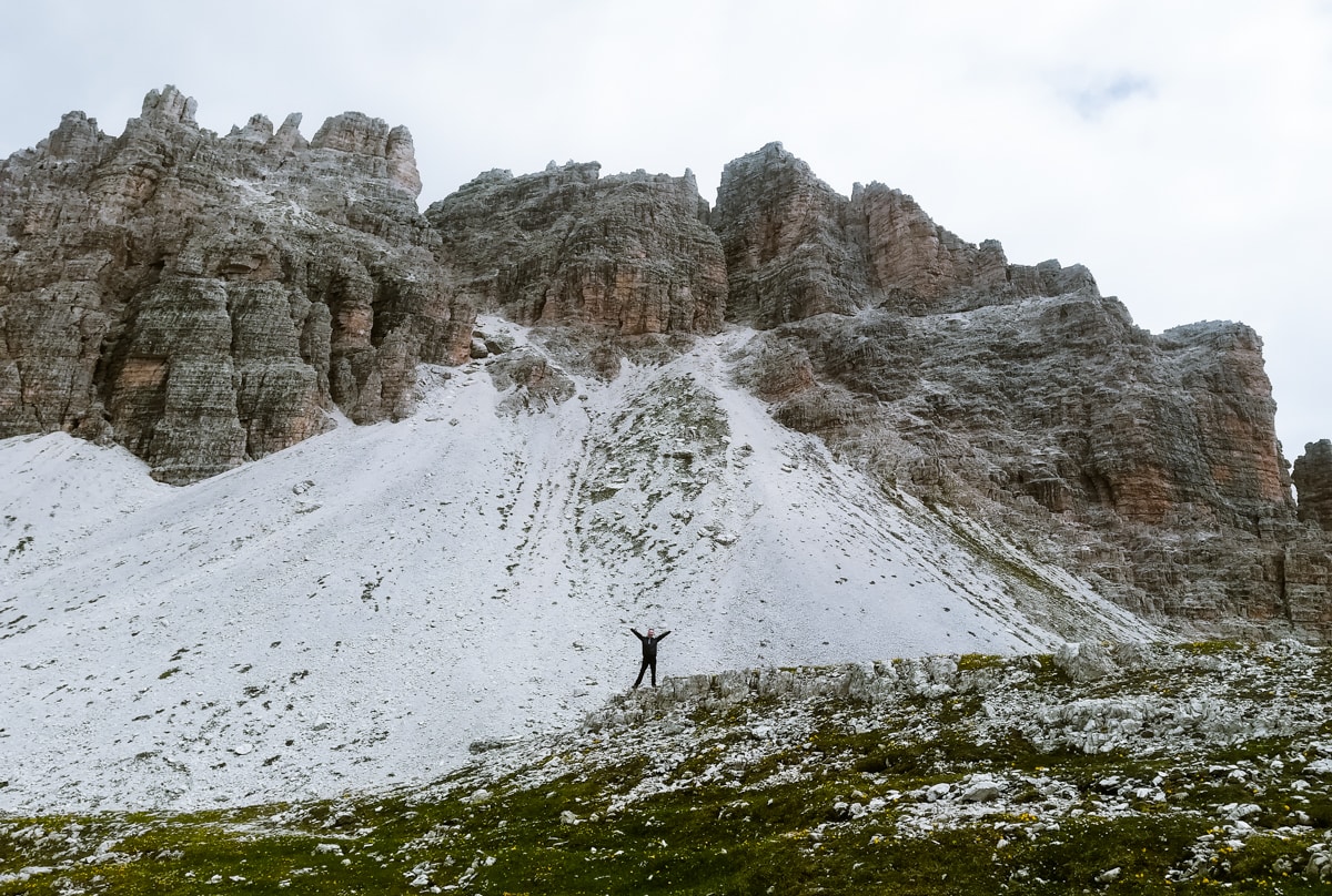
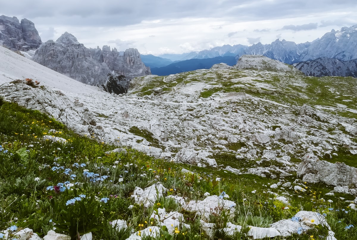
Now you have a great view of the summit of Monte Cengia, behind which rises the massive, broad Zwölferkofel peak at 3,094 metres. You pass the shallow lake Lagho di Cengia and start climbing towards the Büllelejochhütte.
From the mountain hut you continue along the carved path around the rocky corner to the ridge and shortly down to the Büllelejoch mountain saddle. Descend northwards along the stony path and after passing the Bödenseen lakes (Lago dei Piani) you start to climb gently again to the Dreizinnenhütte.
4. Ascent to Monte Paterno
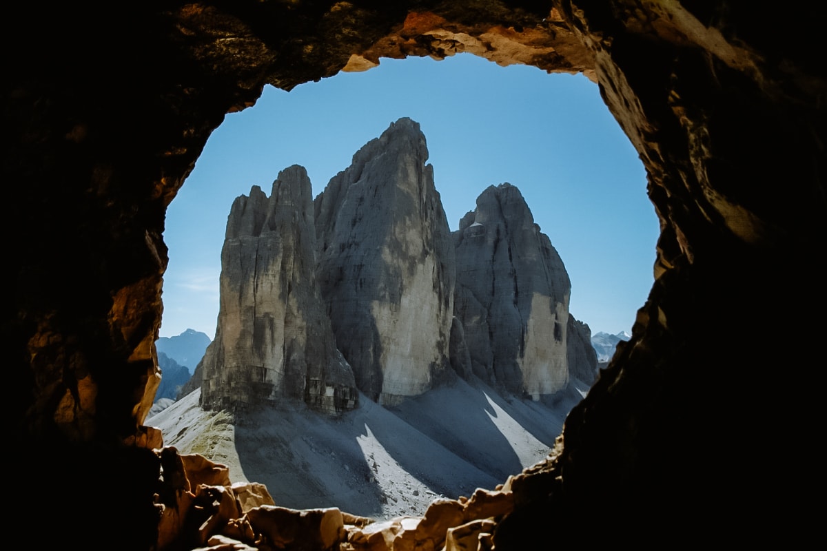
We have bypassed the summit of Monte Paterno in the previous point, now we will climb it. And after the climb, enjoy the iconic view of Tre Cime.
- Difficulty: easy ferrata – difficulty A/B
- Time for ascent: 1 hour 15 minutes; 350 vertical metres (calculated from Rifugio Locatelli – Dreizinnenhütte)
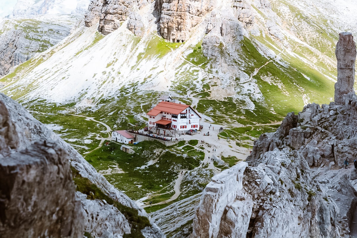
Directly opposite Tre Cime di Lavaredo is the summit of Monte Paterno. It can be reached from the Forcella Lavaredo saddle or from the other side of the Dreizinnenhütte mountain hut (see previous points).
The ferrata itself is easy, so it is good to go early in the morning, because it is also very popular due to its easy nature. Take a headlamp, because along the way you will pass through tunnels from 1. World War II.
5. View of the Cadini di Misurina massif
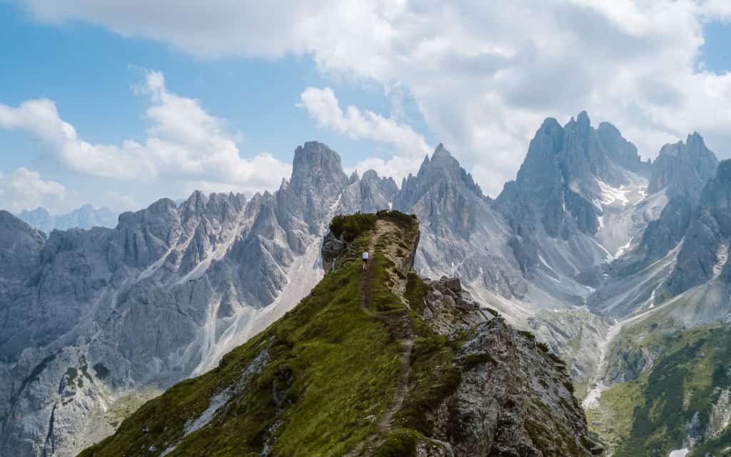
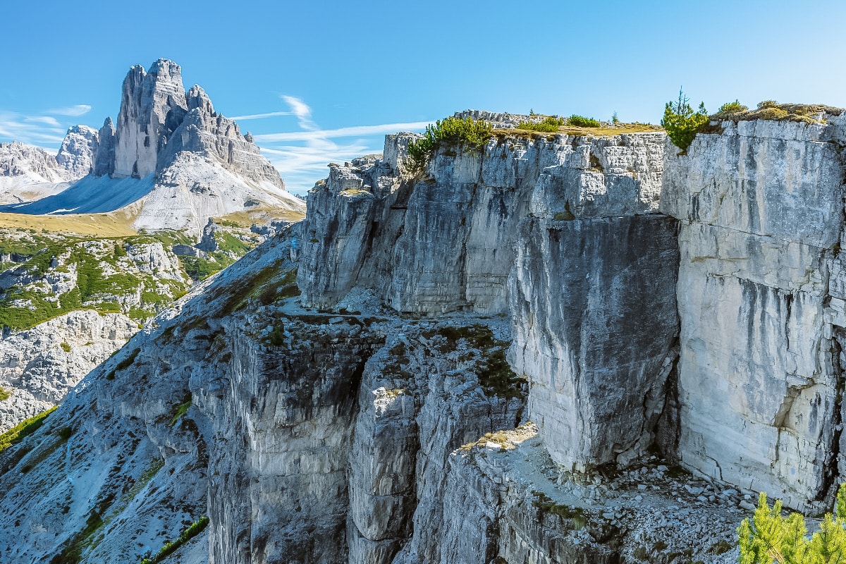
Exactly on the other side of the peaks and the car park, just behind the Auronzo hut, is the Sentiero Bonacossa trail. After that, in about 45 minutes you will reach the viewpoint from which you will enjoy the best view of the Cadini di Misurina massif.
I swear, this is gonna be worth it. The view of the dramatic massif of Cadini di Misurina will take your breath away.
The viewpoint is located on a small ridge that is getting narrower due to erosion. I recommend not to take risks and not to go on the ridge unless it is dry and you have proper shoes. There is a beautiful view in the distance (see photo).
☞ Read: The most beautiful places in the Dolomites
6. Hiking route to Rifugio Fonda-Savio
- Difficulty: easy route, but not suitable for strollers
- Route length: 1.5 hours (one way)
- Starting point: Lake Misurina
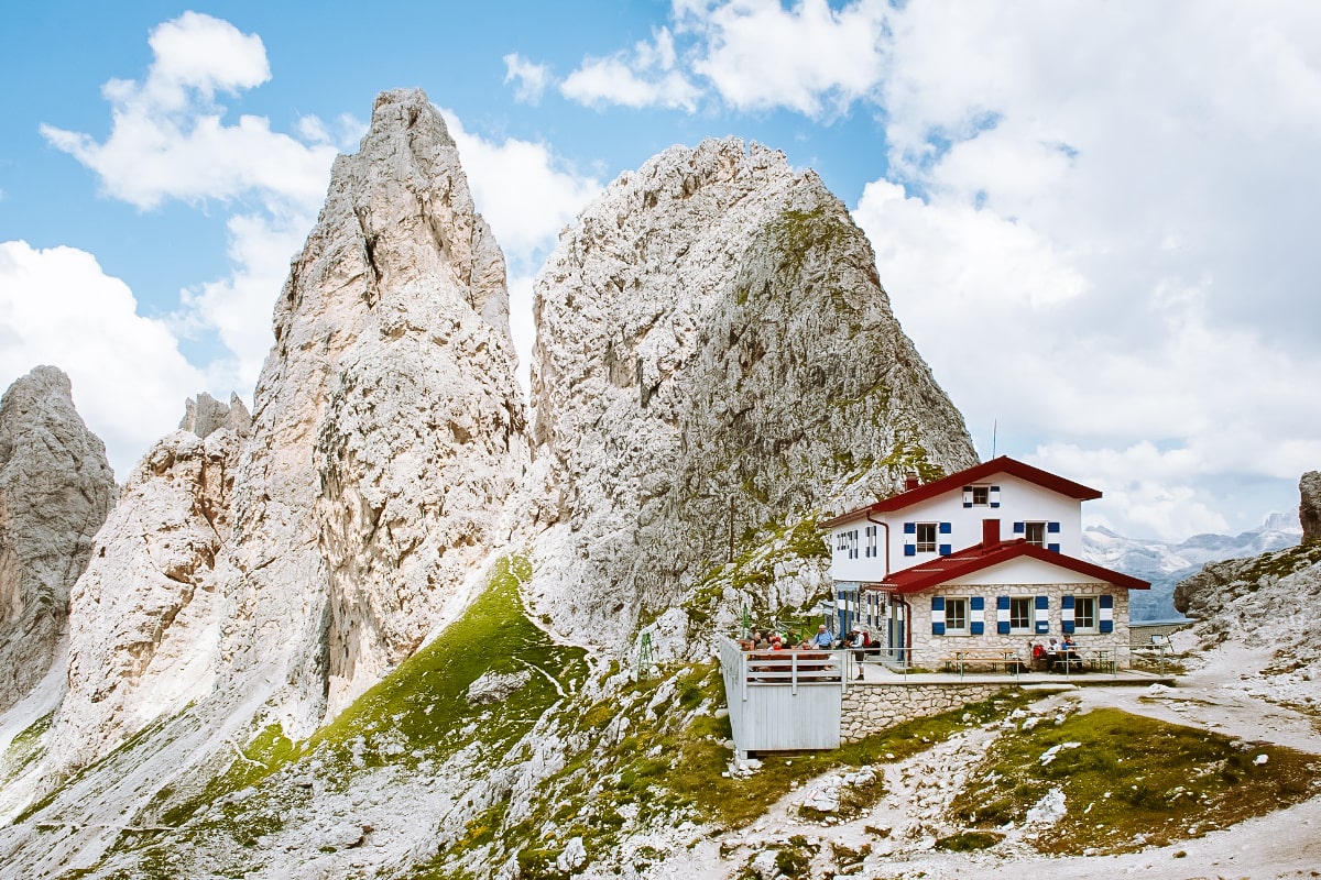
- Route to the Rifugio Fonda-Savio mountain hut
If you’re looking for an easy trail in the Tre Cime area, the route to the Rifugio Fonda-Savio mountain hut is ideal. The journey starts at the free car park, which is located just after Lake Misurina in the direction of Tre Cime (on the right hand side before the toll gate).
From the car park, take the Pian dei Spiriti, which translates as the Path of the Spirits. It will take you to the Fonda-Savio mountain hut in 1.5 hours of climbing between the mountains. As well as refreshments, you can also enjoy a spectacular view of the Cadini massif and Tre Cime in the distance.
7. Route to the museum at the top of Monte Piano
- Difficulty: easy short route
- Route length: max. 1 hour one way
- Route map
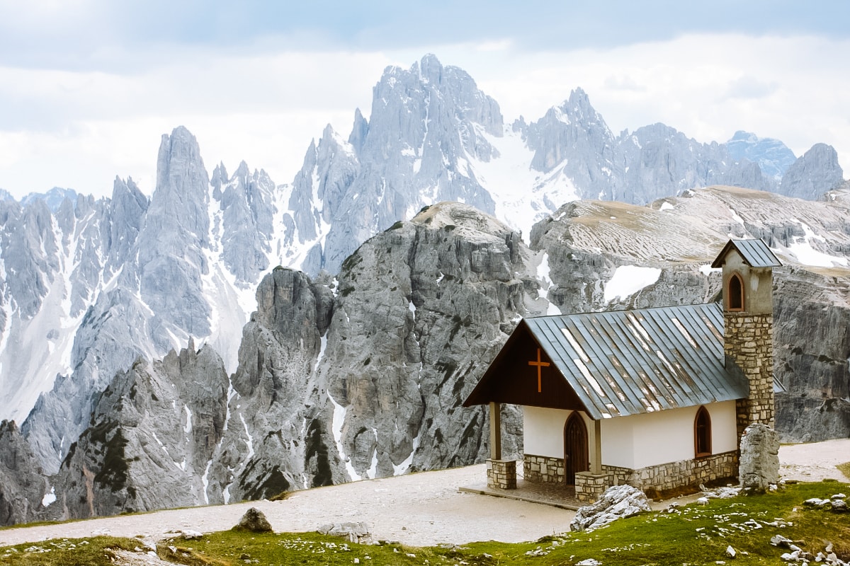
From Lake Misurina, continue towards Tre Cime and just after the crossroads, turn left through the car park to the Rifugio Angelo Bosi al Monte Piana. If you are interested in the history of the First World War, this place is not to be missed. In addition, there is a magnificent view of Tre Cime and the Cadini group to the south.
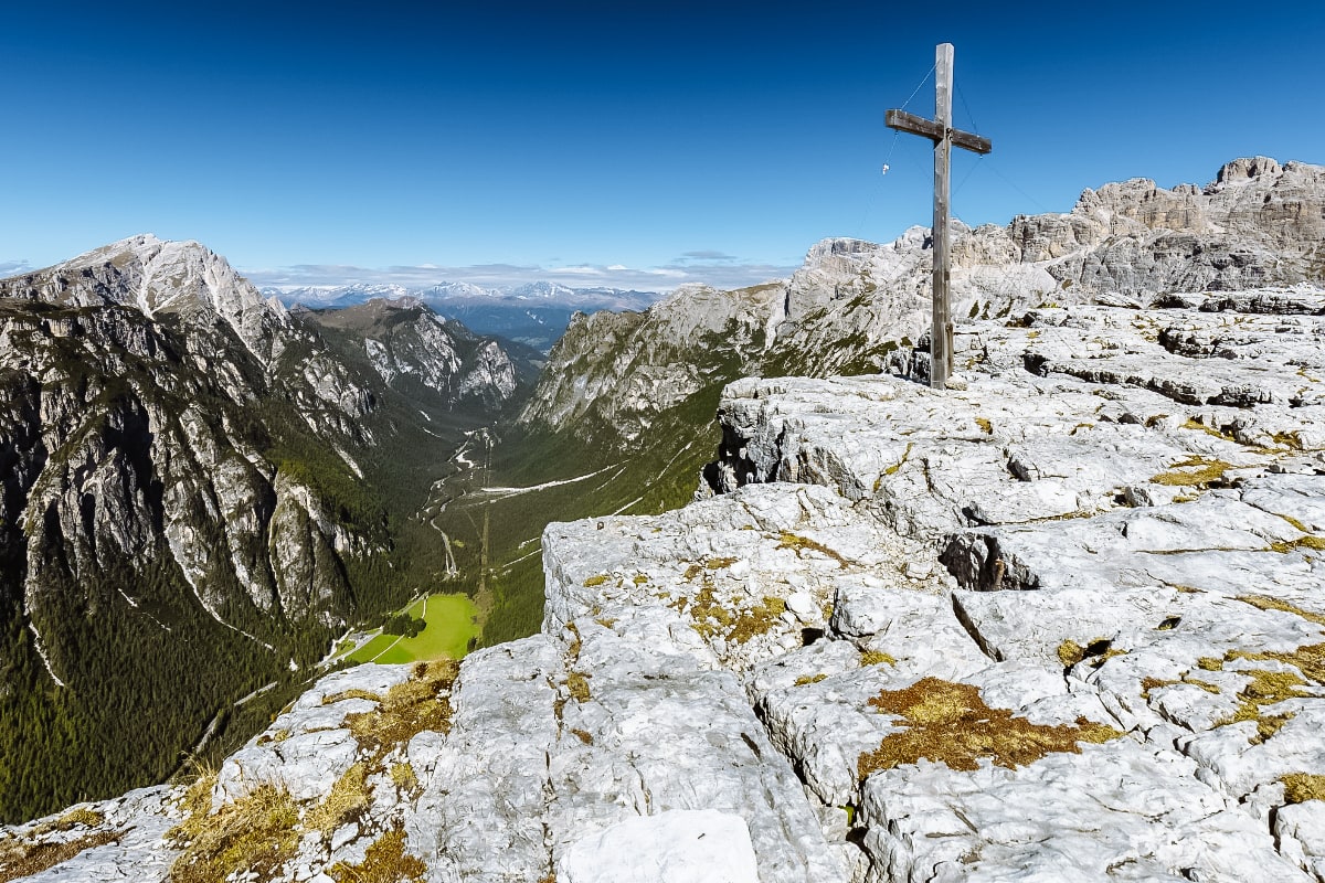
The mountain hut can be reached by car (there is a free gravel area). From here, follow the trails in the area or take the stairs to the small church. It is an easy walk with wonderful views. Count the time about an hour.
Where to stay near Tre Cime in Italy?
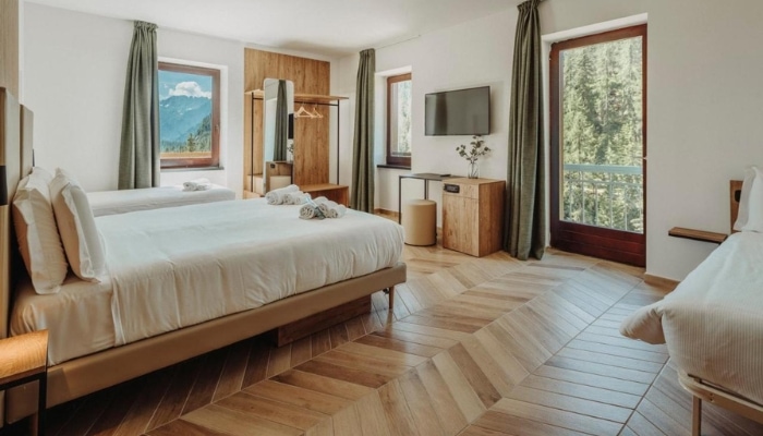
Tip: The Dolomites offer a wide range of accommodation, from hotels to apartments, but due to the popularity of the Dolomites they fill up very quickly. This applies in particular to accommodation with the best value for money or budget accommodation. At the time of writing (early April), many hotels and guesthouses from June to July are already fully booked.
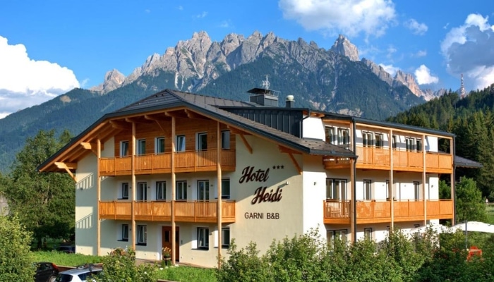
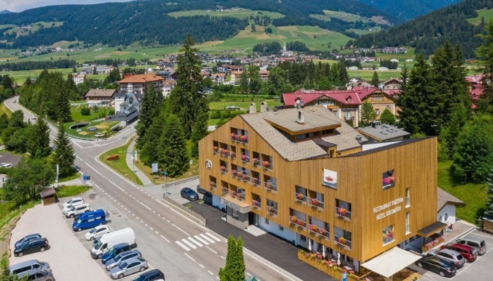
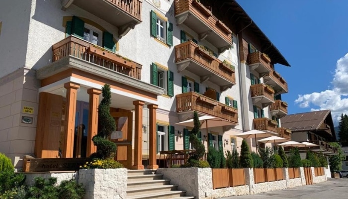
The accommodation around Toblach is perfectly located for exploring the entire Tre Cime National Park. At the same time, you’ll be close to Lake Braies or the Pratto Piazza plateau, which is literally crisscrossed with trails of varying difficulty
Accommodation in the Dolomites 😴
Cortina d’Ampezzo and the surrounding area is also a great starting point. It offers excellent facilities and is located in the heart of the eastern Dolomites, with easy access to many places in the Dolomites. A short drive from Cortina d’Ampezzo you can visit Tre Cime, Passo Falzarego, Passo Giau, Lago Sorapis, Tofana di Mezzo and more.
The best accommodation in Cortina d’Ampezzo, Dolomites:
- Hotel de Len: Modern and stylish hotel with spectacular views of Cortina d’Ampezzo, with excellent cuisine and wellness facilities.
- B&B Hotel Passo Tre Croci: Modern three-star hotel with a strategic location directly on Passo Tre Croci. Strategic location for hiking trails in the area (Lago di Sorapis, Monte Cristallo area).
- Hotel Piccolo Pocol: Pleasant hotel in the mid-price range above Cortina d’Ampezzo, a short walk from Passo Giau and Passo Falzarego. A good choice for couples and families with children.
- Hotel Serena: Cosy hotel with great value for money, a restaurant and free parking on site.
Accommodation Cortina d’Ampezzo 😴
Tre Cime in the Dolomites on the map
HOW TO USE THIS MAP: Above you will find a map with tips for Tre Cime di Lavaredo in the Dolomites in Italy. Click at the top left of the map to see separate layers with highlighted locations. You can hide and show the different layers or click on the icons on the map to see the names of the places I mention in the Tre Cime guide. If you want to save the map, star it. For a larger version, click on the icon in the upper right corner.
This was our guide to hiking trails and tips for hiking in the Tre Cime di Lavaredo area of the Dolomites. Do you have a question? We’ll be happy to answer it in the comments below. Have a safe journey!
More information about Dolomites
DOLOMITES: Get inspired by the most beautiful hikes and routes in the Dolomites. We have prepared a detailed guide to the Dolomites (prices, food, transport and other tips).
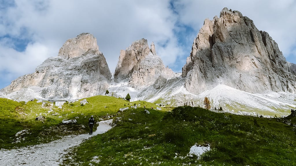
Passo Pordoi is our favourite pass in the Dolomites, as is Passo Giau. For tips on hiking routes in the Sassolungo area, see the article on Passo Sella.
No visit to the Dolomites is complete without a visit to the iconic Lago di Braies.
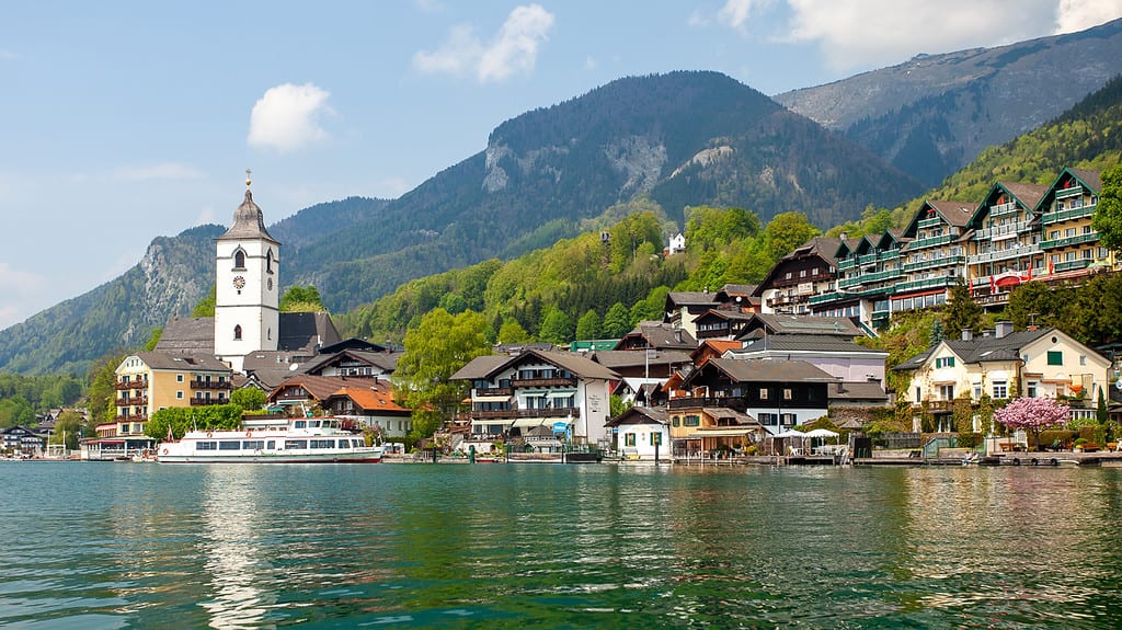
AUSTRIAN ALPS: What to see in the Austrian Alps is covered in a separate article. Or head straight to Tyrol or the High Tauern National Park. Carinthia or the beautiful Wolfgangsee Lake are also worth a visit.
