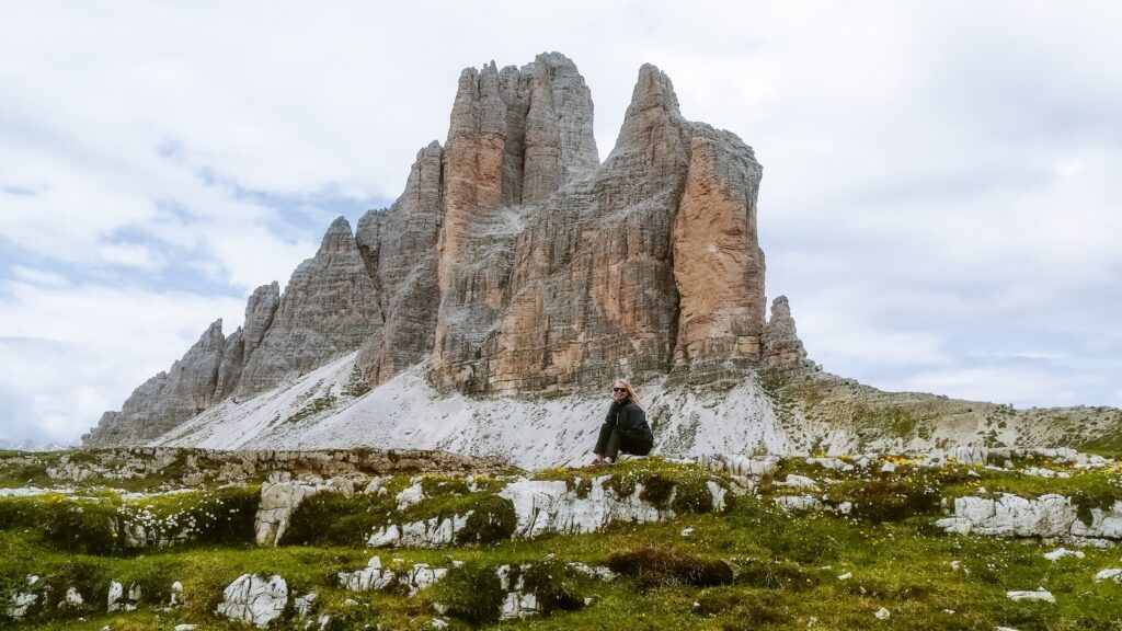
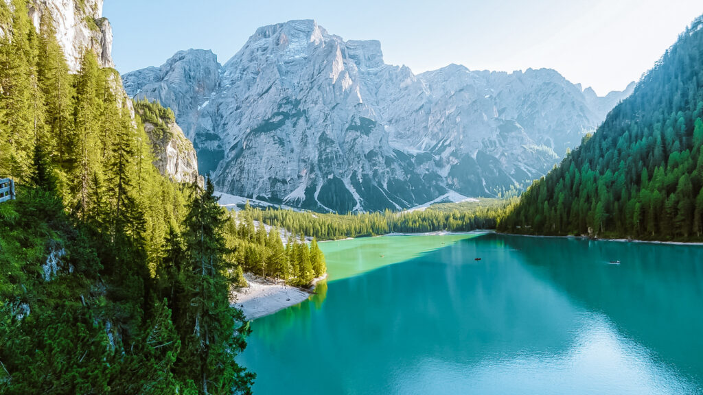
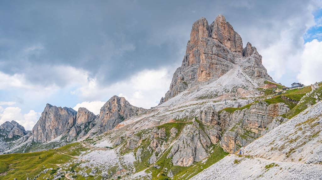
On our trip to the Dolomites, we hadn’t planned to visit the Passo Pordoi mountain pass at all. On our list were the most famous places, such as Tre Cime or the alpine lake Lago di Braies. But as it happens, Passo Pordoi completely enchanted us in the end. Here’s everything you need to know before visiting – how to get there, parking at Passo Pordoi, hiking routes in the area and other handy tips.
Mountain passes in Italy are one of the best things. They are usually completely free, well-maintained, with restaurants and plenty of things to do in the surrounding area. Whichever pass you choose, you can easily spend the whole day here.
Today we will focus on Passo Pordoi, near which the highest peak of the Dolomites and other attractions are located.
Interesting facts about Passo Pordoi
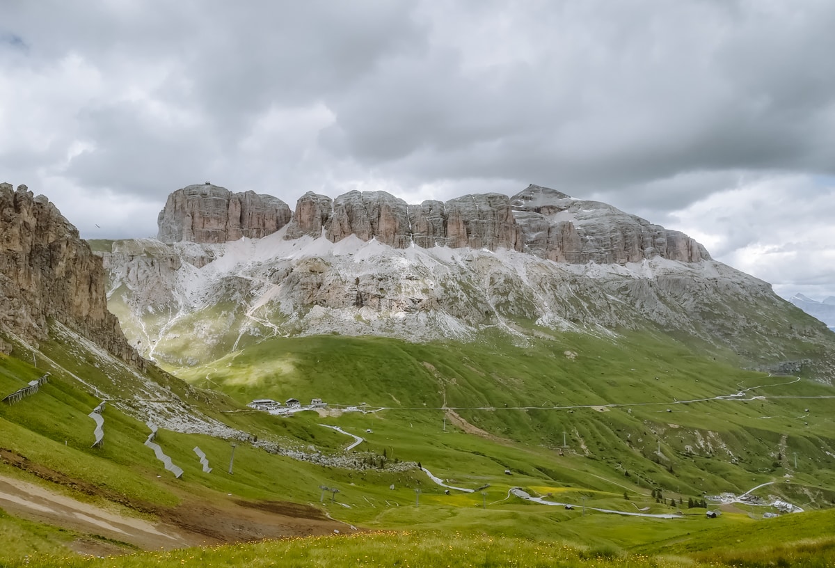
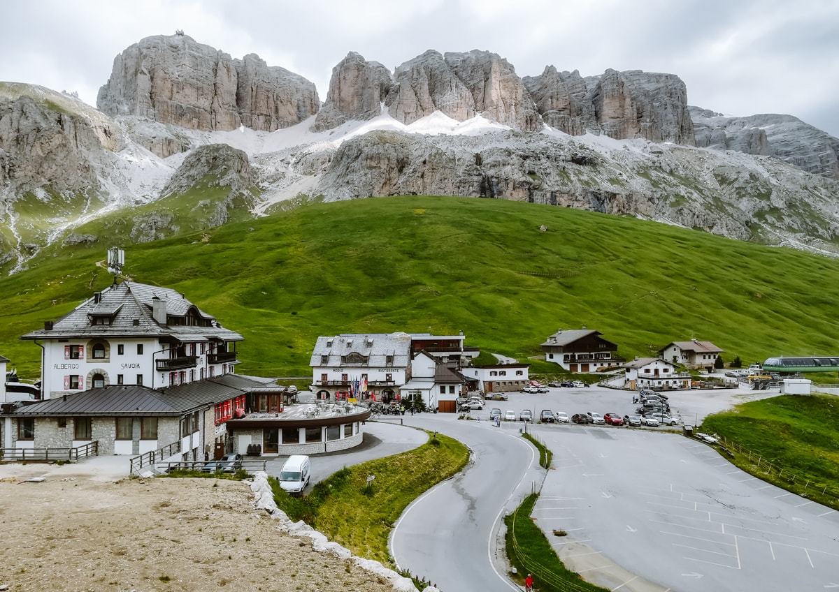
The Passo Pordoi, also known as the Pordoi Saddle, lies at an altitude of 2,239 m and is the second highest mountain pass in Italy. The first is the famous Passo dello Stelvio with 48 turns and an altitude of 2,758 metres.
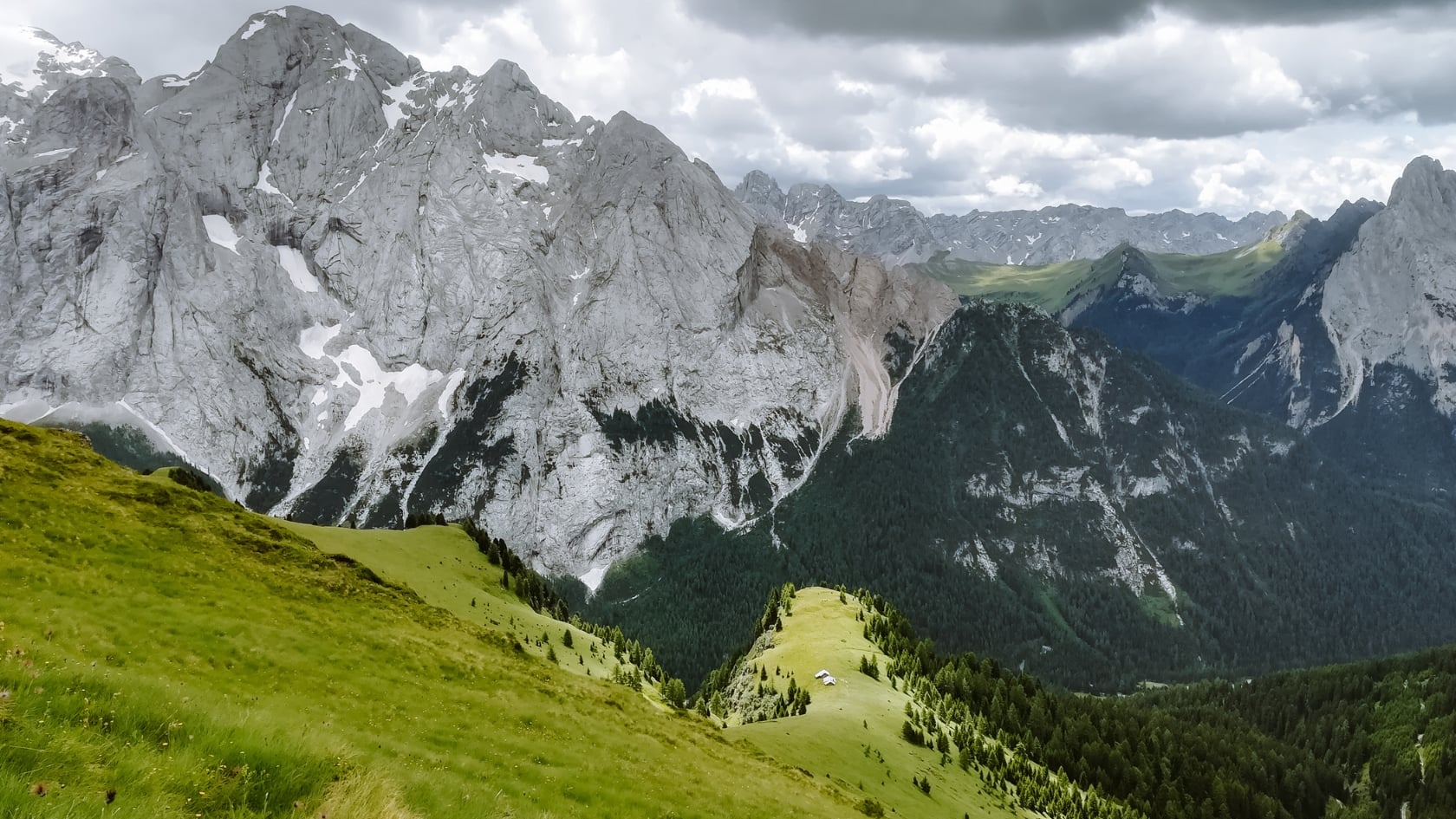
Passo Pordoi connects the towns of Canazei and Arabba and forms the border between the districts of Trento and Belluno. It is nestled between the Sella and Marmolada mountain groups, two major peaks in the Dolomites that guarantee fantastic views. It is also often included in the route of the famous Giro d’Italia cycling race.
The pass has an important historical position, especially during the First World War, when some key battles between Italian and Austro-Hungarian troops took place here.
Accommodation in the Dolomites 😴
When to visit Passo Pordoi?
The best time to visit and hike in Passo Pordoi is late May-June and September-October. July and August are the peak months for tourists and the car parks can be crowded. But if you go early in the morning, you can avoid the crowded cable car and enjoy the views without the crowds.
The cable car to Sass Pordoi reopens after the winter season in mid-May, when it is least crowded. On the other hand, there may still be plenty of snow. For hiking and clear views with lush green landscapes and flowers, it is better to visit Passo Pordoi in June or, conversely, in autumn when the views are at their most constant.
Parking in Passo Pordoi
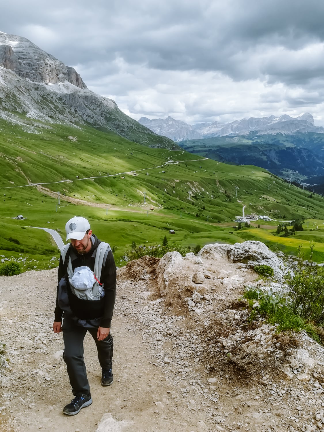
Parking in Passo Pordoi is chargeable – €1.5 per hour, maximum €7 per day. For the period 21:00-07:00 a flat rate of € 15 per night applies.
In addition to the parking lot at the highest point of the pass, you can also park along the road, where there are smaller parking areas here and there.
Hiking routes and excursions in the surroundings of Passo Pordoi
Most visitors just drive through Passo Pordoi, which is a great pity. There are hiking trails of varying difficulty and a cable car with spectacular views. Below you will find some of our tips.
Note: Hiking routes are calculated in the direction of there, unless otherwise stated.
1. Cable car to Sass Pordoi
Right at the highest point of the Passo Pordoi, the Sass Pordoi cable car takes you to an altitude of 2,950 metres in no time. In summer, queues can form at the cable car – for this reason, it’s better to arrive right at opening time, when you can enjoy a quieter ride in the gondola and not have to squeeze in with lots of other tourists.
The opening hours of the cable car to Sass Pordoi in 2024 are as follows:
- 17th May to 15th October 9:00-17:00
- 16th October to 3rd November 9:00-16:30
The prices for the cable car to Sass Pordoi in 2024 are as follows:
- 15,50 € one way or 28 € for a return ticket
- reduced price for youth to 9,50 €, or 16,50 € for a return ticket
- dogs are free of charge
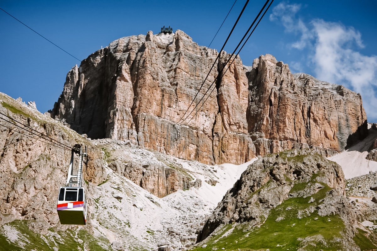
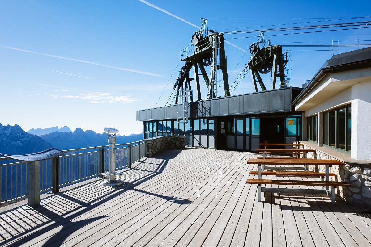
Right at the top station of the cable car there is a viewpoint called Terrazza delle Dolomiti. There are a few benches and two mountain huts where you can grab a bite to eat – Rifugio Maria right at the station and Rifugio Forcella Pordoi about 10 minutes away.
The top station of the cable car is also the starting point for the hiking trails to Sass Pordoi, which we will talk more about in a moment.
Accommodation in the Dolomites 😴
2. Hike to Sass Pordoi
- Length of the route: 1 hour (2.3 km)
- Elevation: 616 m
- Difficulty: moderate
- Route map to Sass Pordoi
Would you like to climb the Sass Pordoi on foot or save money on the cable car? Just an hour’s climb and you can enjoy the views of the Dolomites.
The trail starts just past the lower cable car station – on your right you will see small steps that turn into trail no. 627, which you follow up to the Rifugio Forcella Pordoi mountain hut. From here you can walk down to the top station of the cable car in about 10 minutes or continue along the Sass Pordoi.
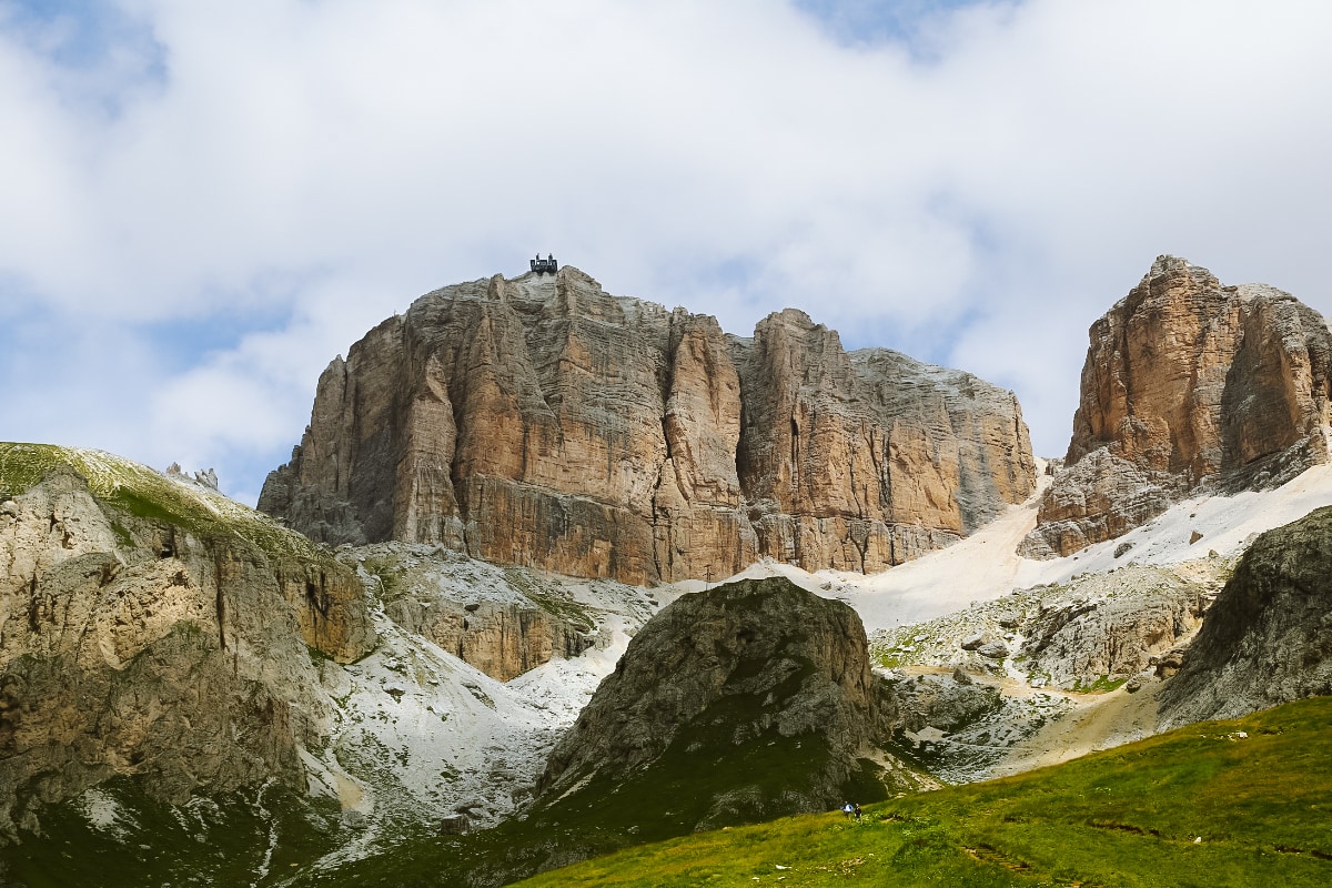
At the beginning, you walk on easy terrain at the foot of Sass Pordoi. After a while, you will start to climb through the rubble on a winding path, which is visible from below thanks to its steep curves. Depending on when you visit Passo Pordoi, snow may appear in the final stages of the hike, so be careful.
☞ Be inspired by the most beautiful places in the Dolomites.
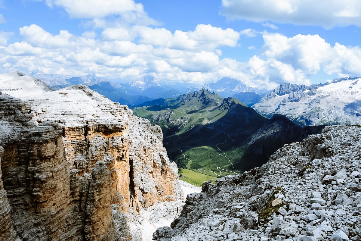
3. Hiking route to Piz Boè
- Route length: 1 hour 20 min (2.6 km)
- Elevation: 354 m
- Difficulty: easy to moderate (short chains, long snow in some places)
Piz Boè is one of the most popular peaks in the area, so it can get a bit crowded in the summer.
The start of the route is in Passo Pordoi, from where you take the cable car to Sass Pordoi (see “Cable car to Sass Pordoi” above).
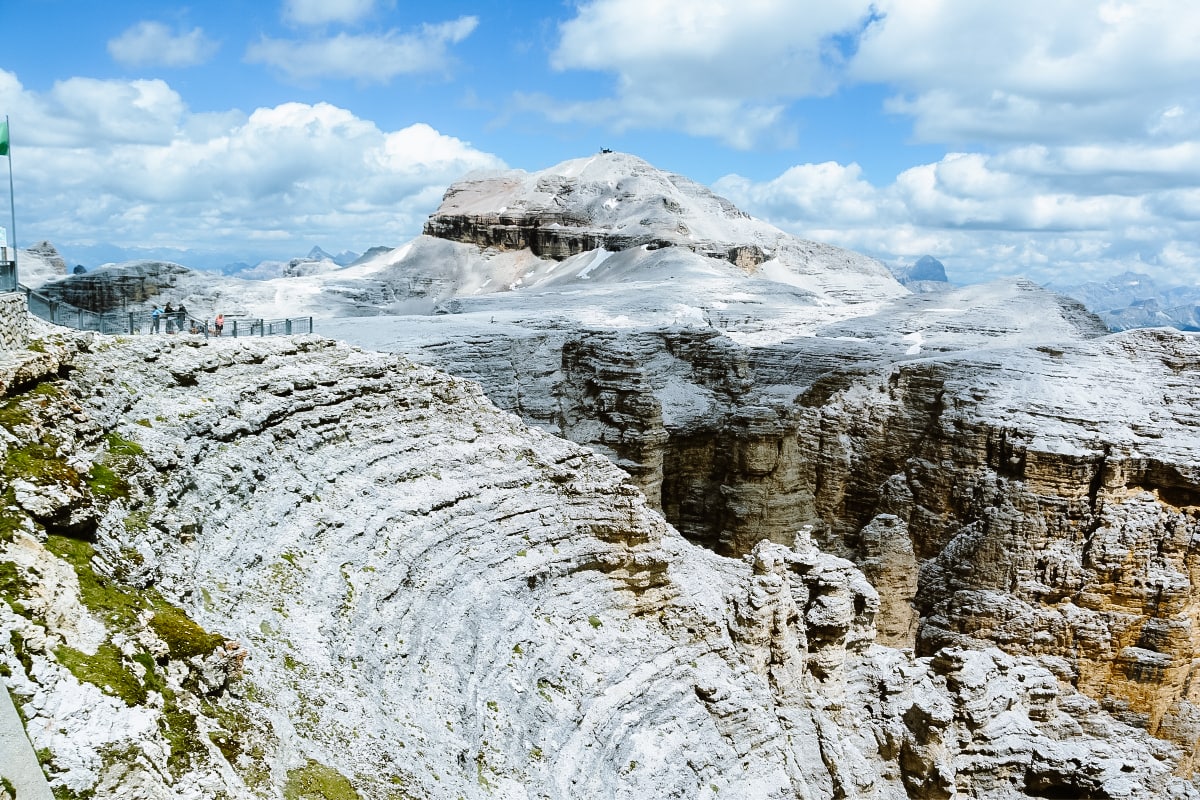
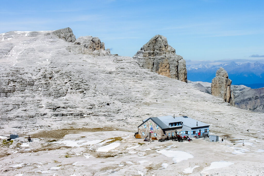
From the top station of the cable car, take the 627 trail to the Forcella Pordoi saddle with the Rifugio Forcella Pordoi mountain hut. All the way you walk at approximately the same height through the impressive plateau for which Sass Pordoi is famous. Follow the signs to Piz Boè with the Rifugio Capanna Piz di Fassa mountain hut right on top.
The whole route is relatively easy, only in some places you will have to use chains.
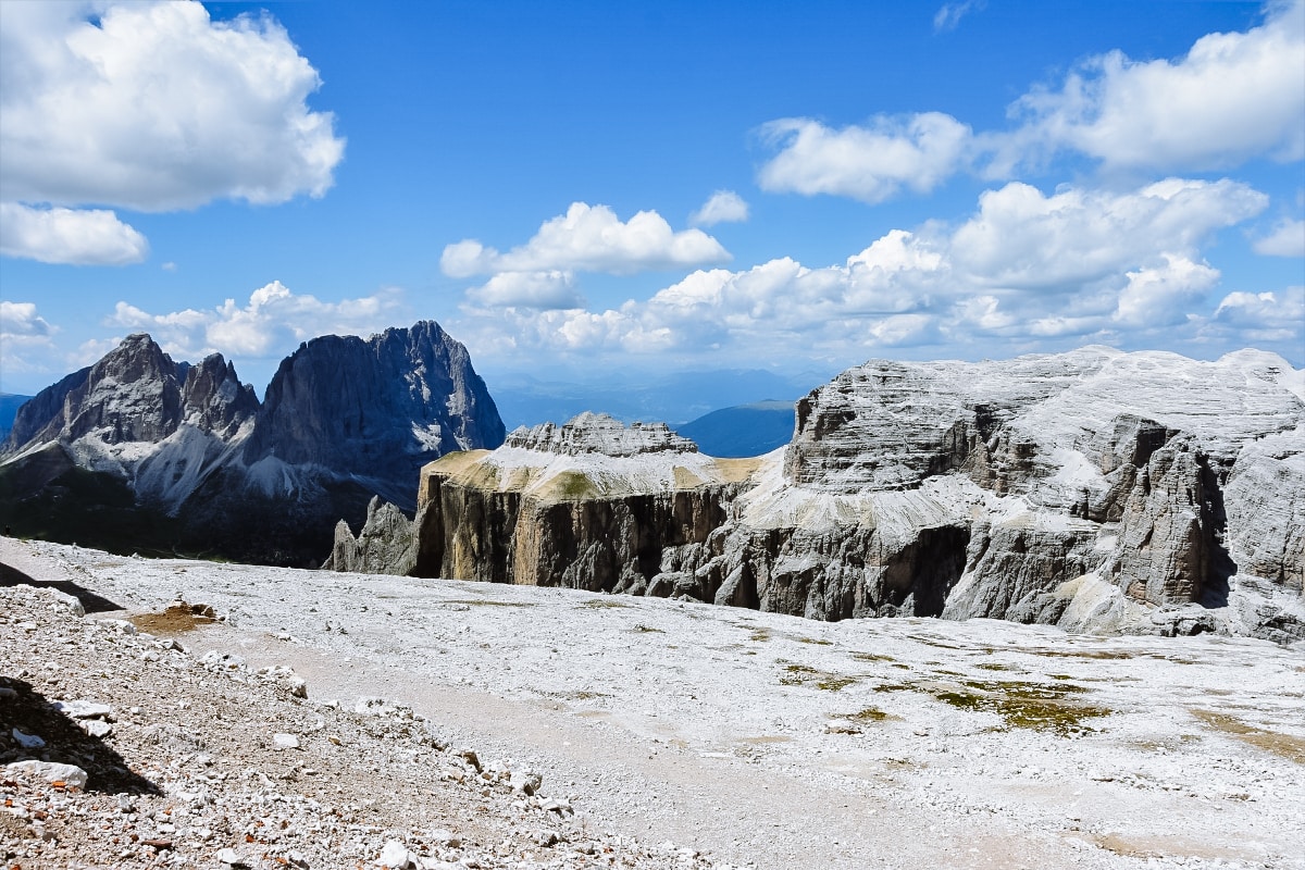
Piz Boè is also one of the most accessible peaks in the Dolomites above 3,000 metres. In addition, the surrounding landscape resembles a lunar landscape and creates a perfect contrast to the green valley that lies beneath the massif.
The second and more challenging option is to go to Piz Boè directly from the Passo Pordoi. The route in this case is identical to the previous point – hike no. 2 to Sass Pordoi, from where you will follow the signs to Piz Boè. The time is about 2 hours with a considerable elevation gain of 900 metres.
4. Viel dal Pan
- Length of the route to Rifugio Viel dal Pan: 1 hr 20 min (3.1 km)
- Elevation: 227 m
- Difficulty: easy
- Route map Viel dal Pan
The Viel dal Pan, also known as the “Way of Bread” or the “Panoramic Route”, is a historic trade route that was used in the past to transport goods between the valleys. Today it connects Passo Pordoi and Passo Fedaia.
We kept this tip on purpose – we think it is the most beautiful hiking trail in the Passo Pordoi area (and one of the most beautiful in the Dolomites), which is easy and suitable for almost everyone.
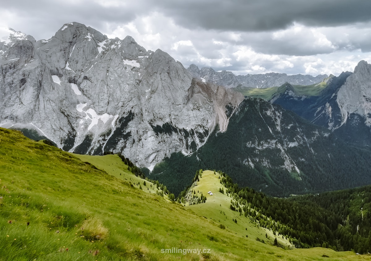
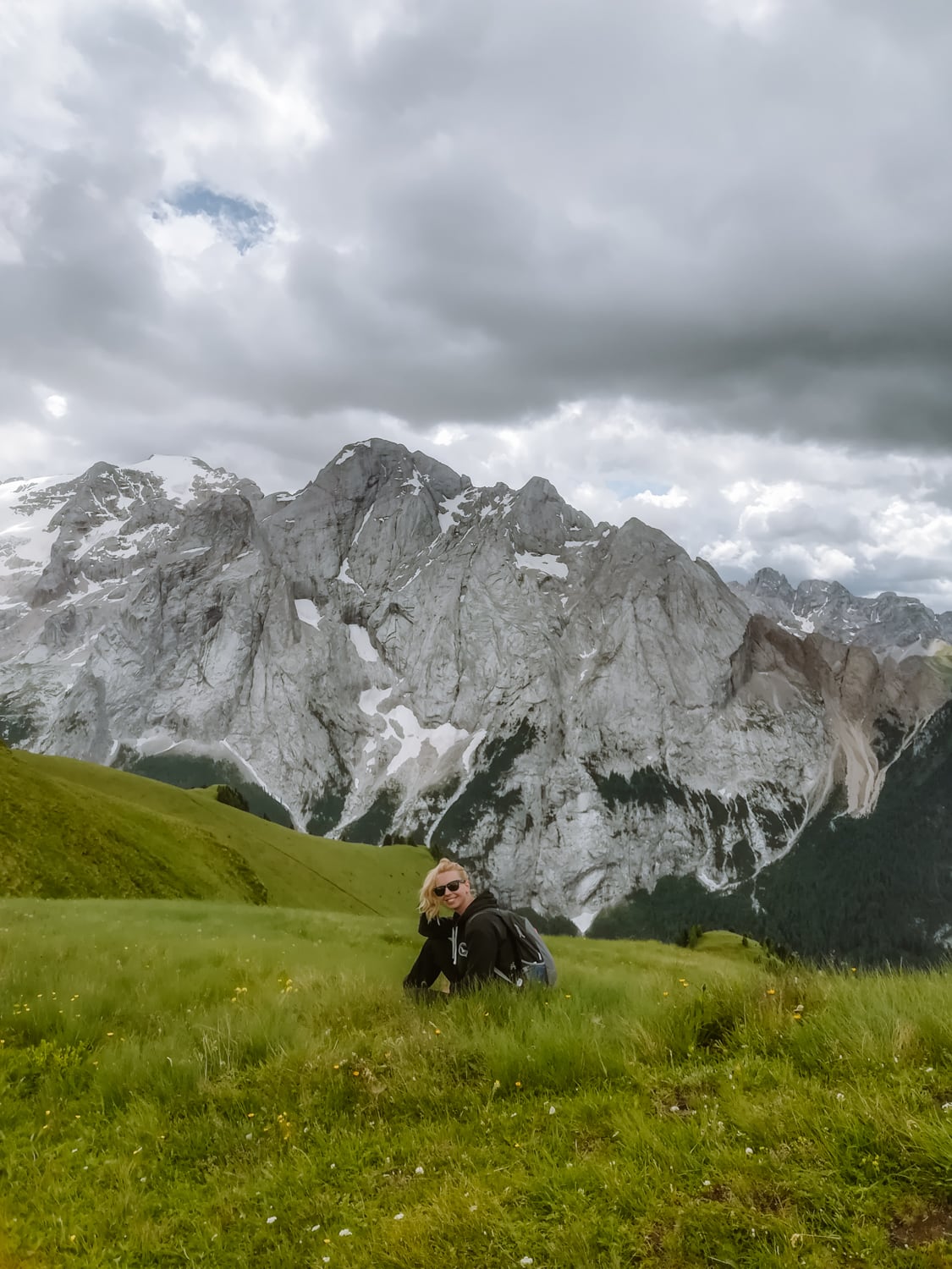
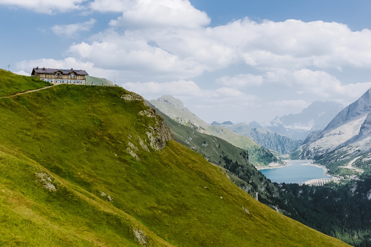
All the time you will enjoy breathtaking views of the Marmolada and, at the end, Lago di Fedaia. There are also plenty of mountain huts nearby where you can sit on the terrace and enjoy the surroundings.
And how to get here? From the Passo Pordoi saddle, head exactly the other way from Sass Pordoi – you’ll see the beaten path up the hill that skirts Sasso Beccé on your left. You climb for half an hour up to the Rifugio Fredarola mountain hut, where you can enjoy spectacular views of the Marmolada.
You can go for a bite to eat or just have a picnic in the grass. From the other side you will have a great view of Sass Pordoi.
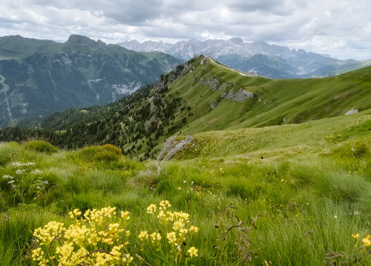
We continue on the beaten path along the mountainside, without any significant climb, but with a perfect view of Marmolada. The route is easy and suitable for families with slightly bigger children. Gradually, views of Lago di Fedaia with the Rifugio Viel Dal Pan mountain hut open up. From here you can continue along the trail to the saddle.
The route can also be taken in the opposite direction from Passo Fedaia, but you have to take into account the higher altitude.
☞ Read our guide to Tre Cime in the Dolomites.
Where to stay near Passo Pordoi?
1. Accommodation in Arabba near Passo Pordoi
If you only want to stay in one place and from there you can take trips to both sides of the Dolomites, Arabba is ideally located in the heart of the Dolomites.
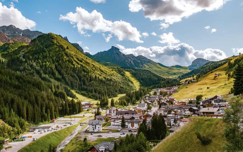
Arabba is a small, picturesque town in a valley that provides a peaceful backdrop. Nearby are Passo Pordoi, Marmolada, Passo Gardena, Cinque Torri, Lagazuoi and Passo Giau.
The best accommodation in Arabba, Dolomites:
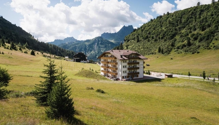
- Chalet Barbara: Beautiful, cosy Alpine-style accommodation with excellent service, wellness and free parking.
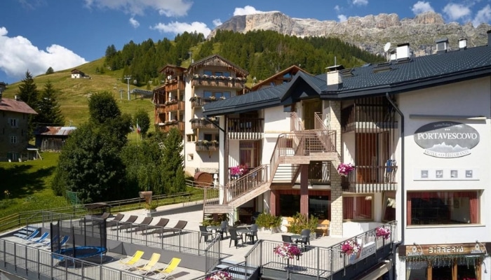
- Hotel Portavescovo: Pleasant 3-star hotel in the centre of Arabba with swimming pool, sauna and free parking. Possibility of half board.
- Apparthotel Sellaronda: Cheap accommodation in fully furnished apartments for couples and larger families and groups. Free parking, playground.
Accommodation in the Dolomites 😴
2. Accommodation in Val Gardena, Dolomites
Val Gardena is a great base for exploring the western part of the Dolomites. The imaginary main village of the area is Ortisei, where you can take the cable car to Seceda, the cable car to Alpe di Siusi and the cable car to the Resciesa plateau.
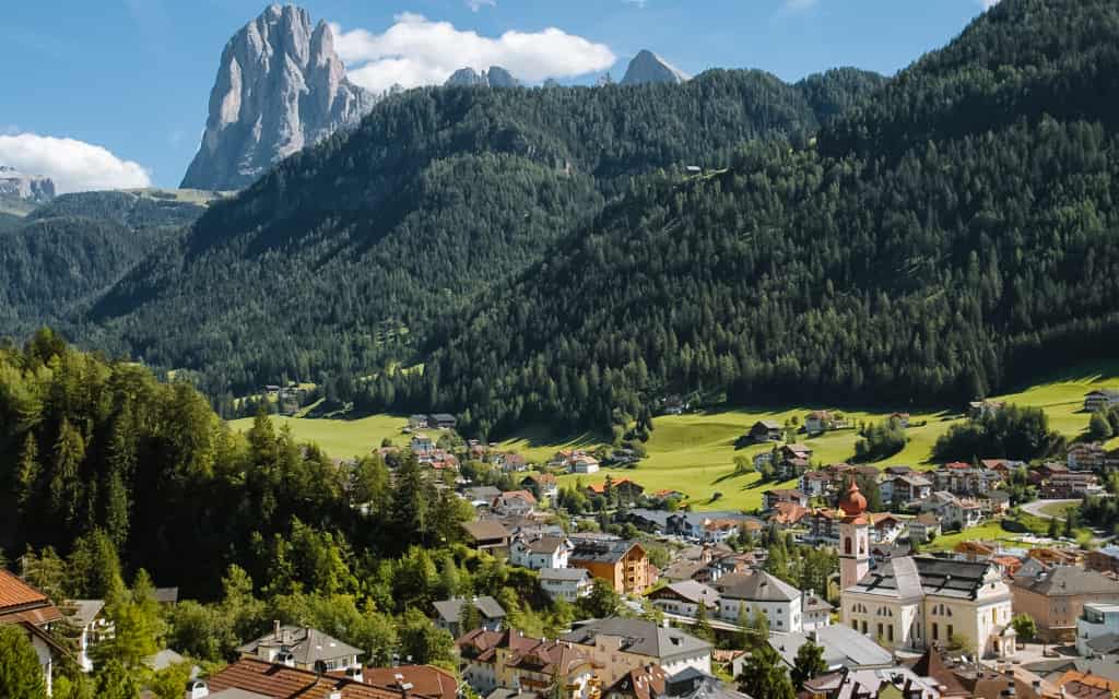
Selva di Val Gardena is slightly smaller than Ortisei, but is more picturesque and still provides good facilities. It is located just a short distance from Ortisei. Halfway to Santa Cristina, you can reach Seceda and everything for a relaxing holiday is nearby.
There are plenty of hikes and walking routes in the Dolomites around Val Gardena – Sassolungo, Passo Pordoi, Marmolada, Sciliar and more.
The best accommodation in Val Gardena:
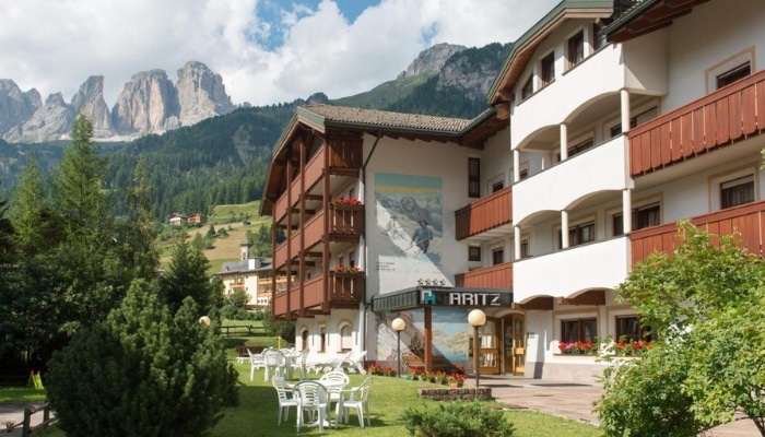
- Garni Aritz: Pleasant hotel near Val Gardena with great value for money. Excellent facilities including its own parking space, gym, bar and restaurant. Rooms and larger apartments available.
- Smart Hotel Saslong: Modern and minimalist hotel in Santa Cristina with excellent restaurant, full facilities and free parking.
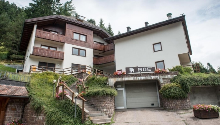
- Apartments Boè: Cheap accommodation in fully equipped apartments that provide everything for a pleasant holiday, including covered parking and a location in the centre of Santa Cristina. Suitable for larger groups.
- La Cort: Stylish accommodation exclusively for adults – with a rooftop spa, an infinity pool with a view and a cosy café.
Accommodation in the Dolomites 😴
Passo Pordoi in the Dolomites on the map
HOW TO USE THIS MAP: Above you will find a map with tips for Passo Pordoi in the Dolomites in Italy. Click at the top left of the map to see separate layers with highlighted locations. You can hide and show the different layers or click on the icons on the map to see the names of the places I mention in the Passo Pordoi guide. If you want to save the map, star it. For a larger version, click on the icon in the upper right corner.
These were our tips for hiking routes and guides for Passo Pordoi in the Dolomites. Do you have a question? We’ll be happy to answer it in the comments below. Have a safe journey!
More information about Dolomites
DOLOMITES: Get inspired by the most beautiful hikes and tours in the Dolomites. We have prepared a detailed guide to the Dolomites (prices, food, transport and other tips).
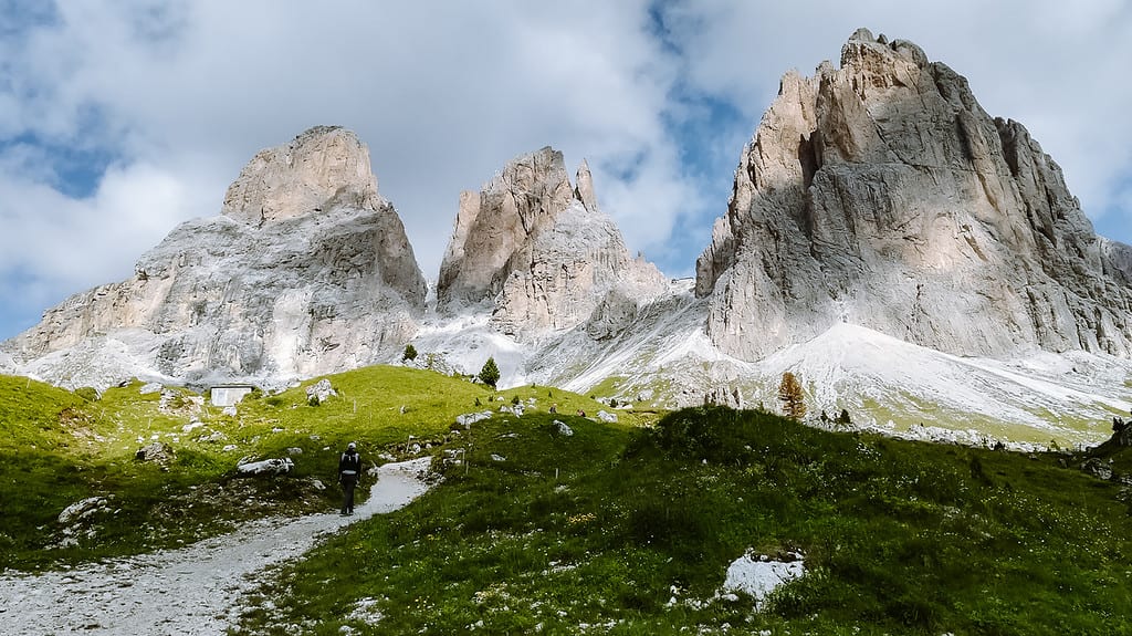
Passo Giau is our favourite pass in the Dolomites. For tips on hiking routes in the Sassolungo area, see the article on Passo Sella. No visit to the Dolomites is complete without Tre Cime and the iconic Lago di Braies.
Would you like to combine hiking with swimming? Here are tips for Lago di Garda or the more westerly Lago di Como.
AUSTRIAN ALPS: What to see in the Austrian Alps is covered in a separate article. Here are the most beautiful lakes in Austria.
